
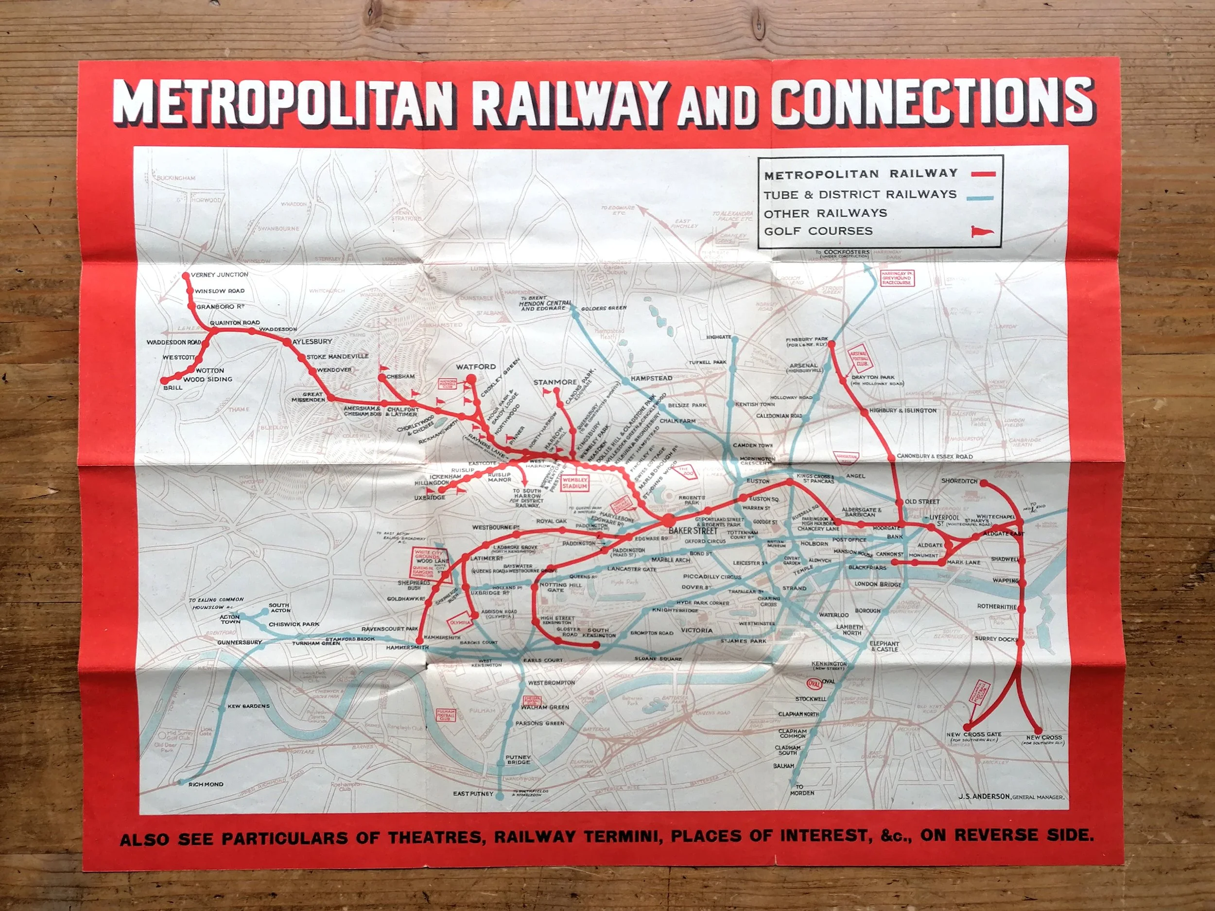
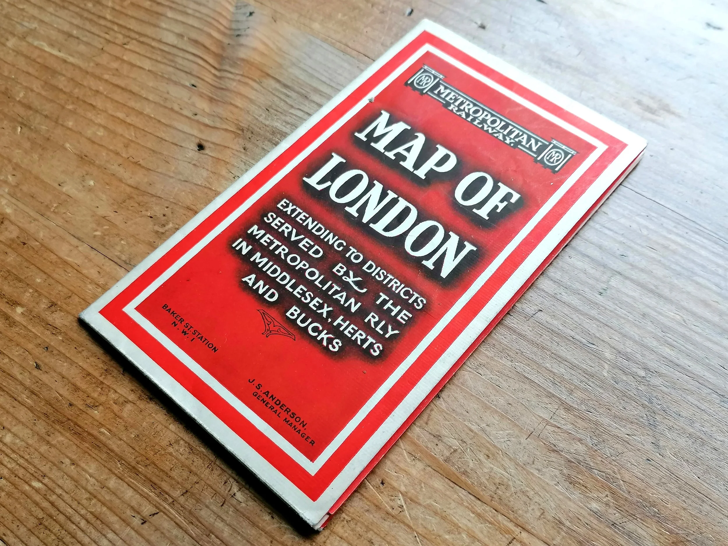

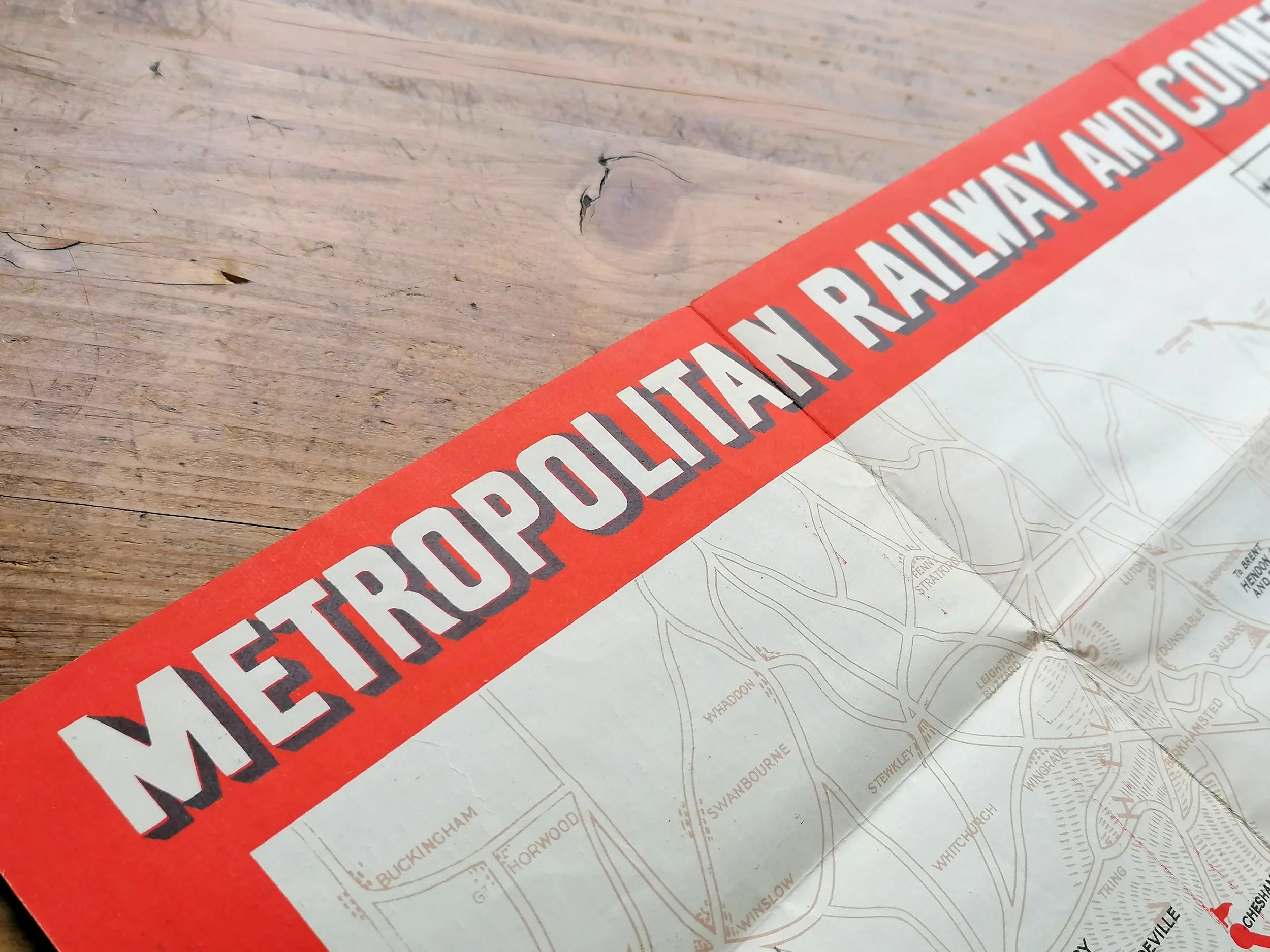
1933 Metropolitan Railway Map of London (M.1795)
Metropolitan Railway Map of London - Metropolitan Railway and Connections
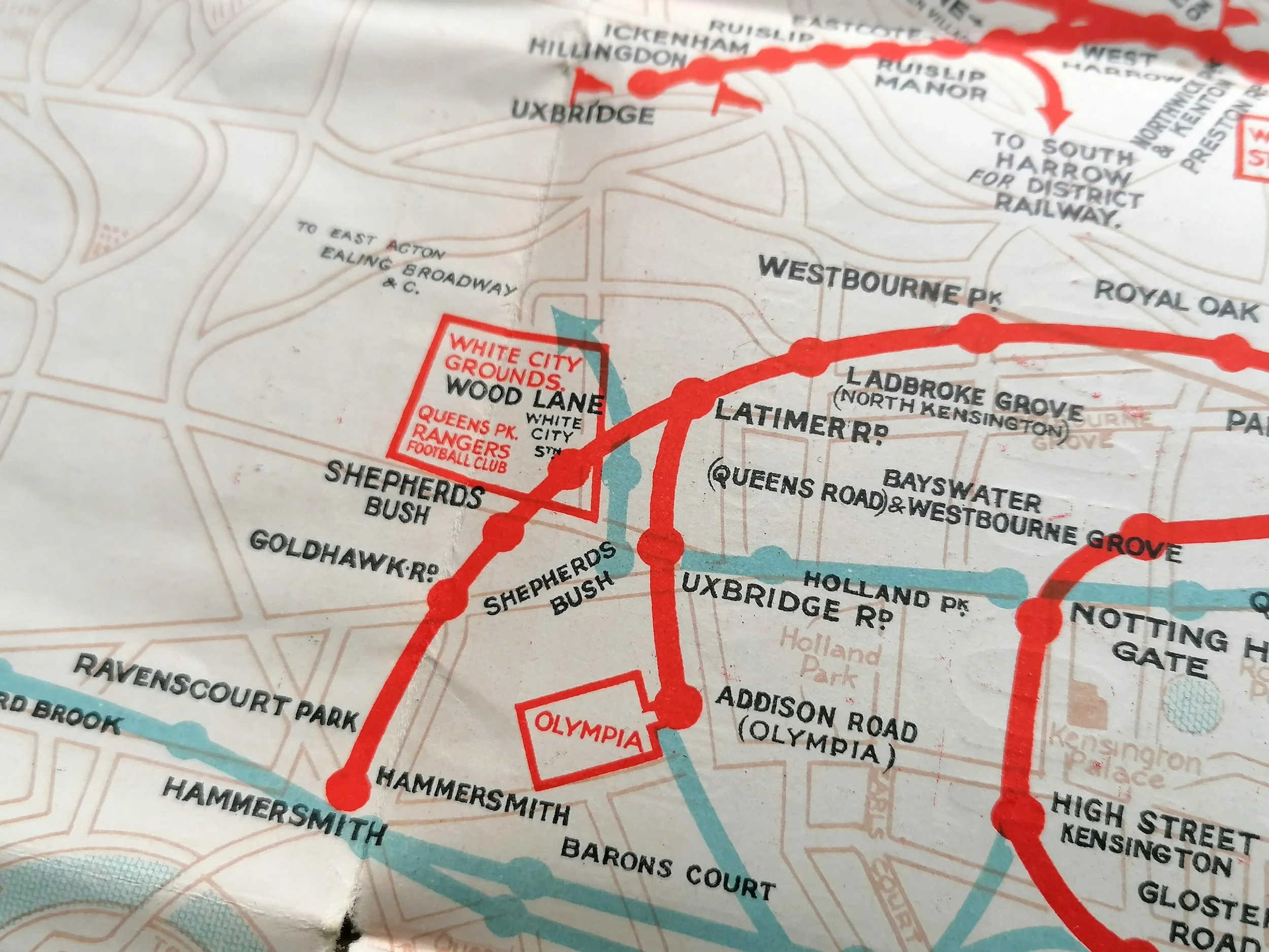
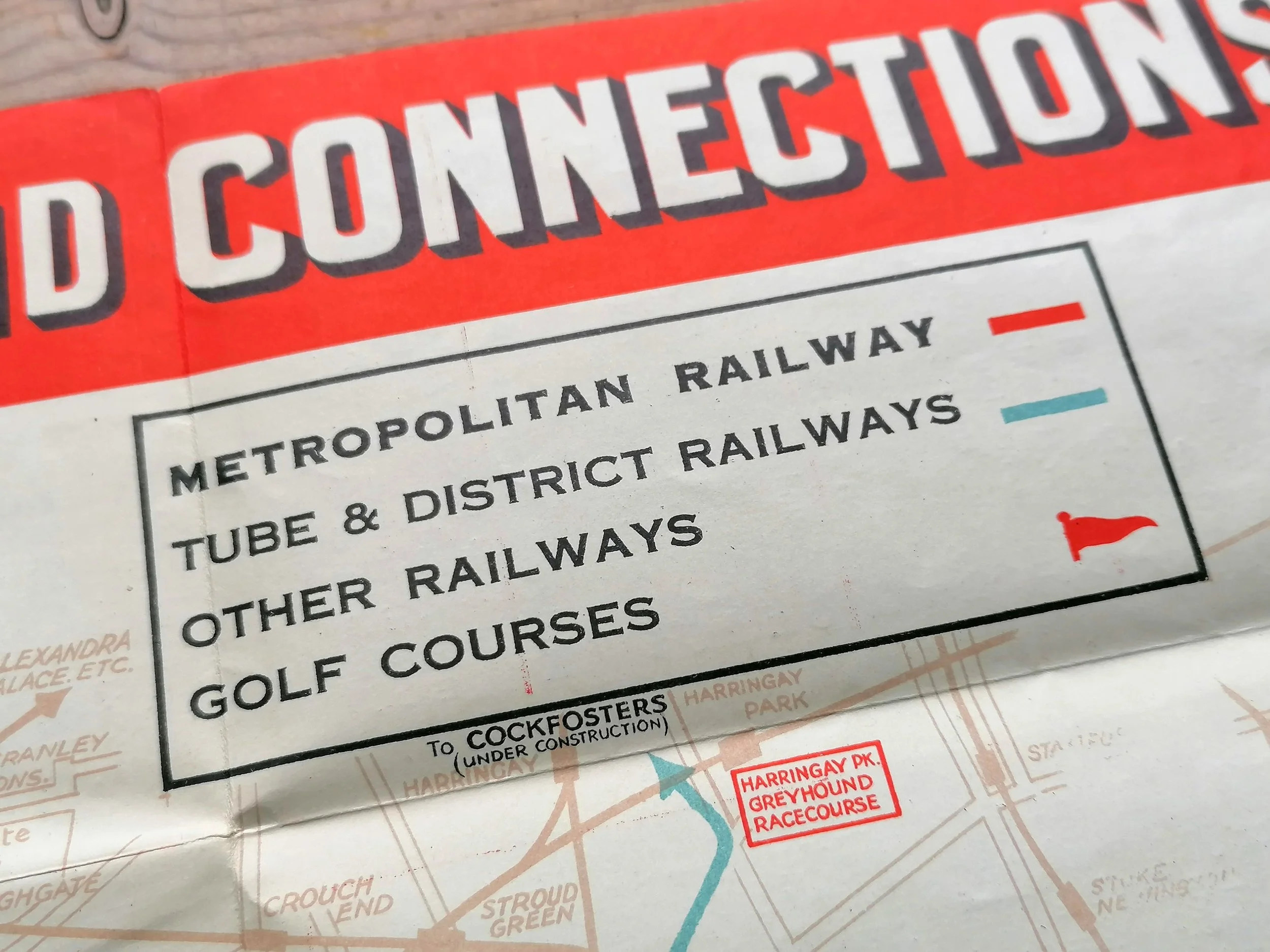
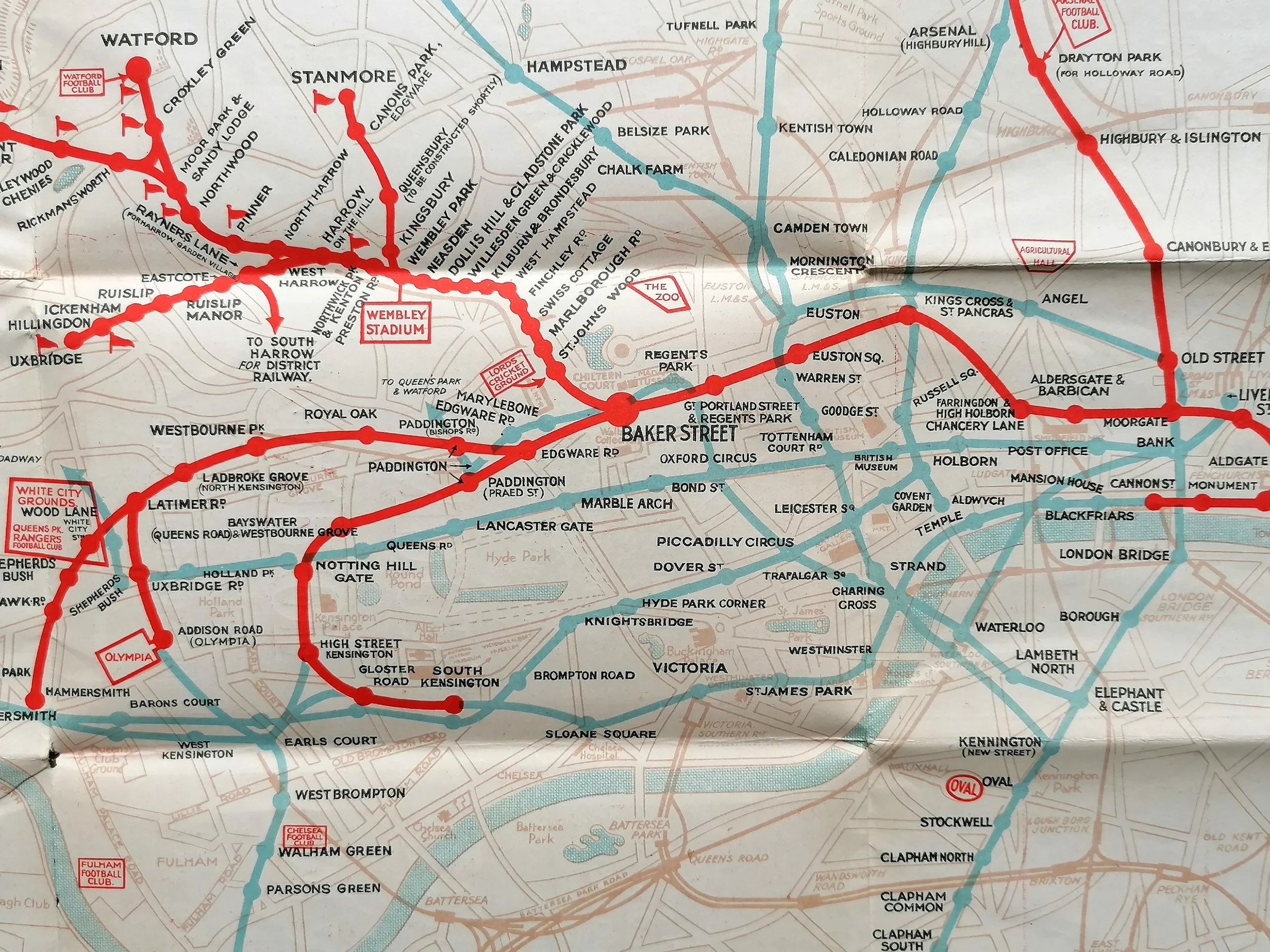
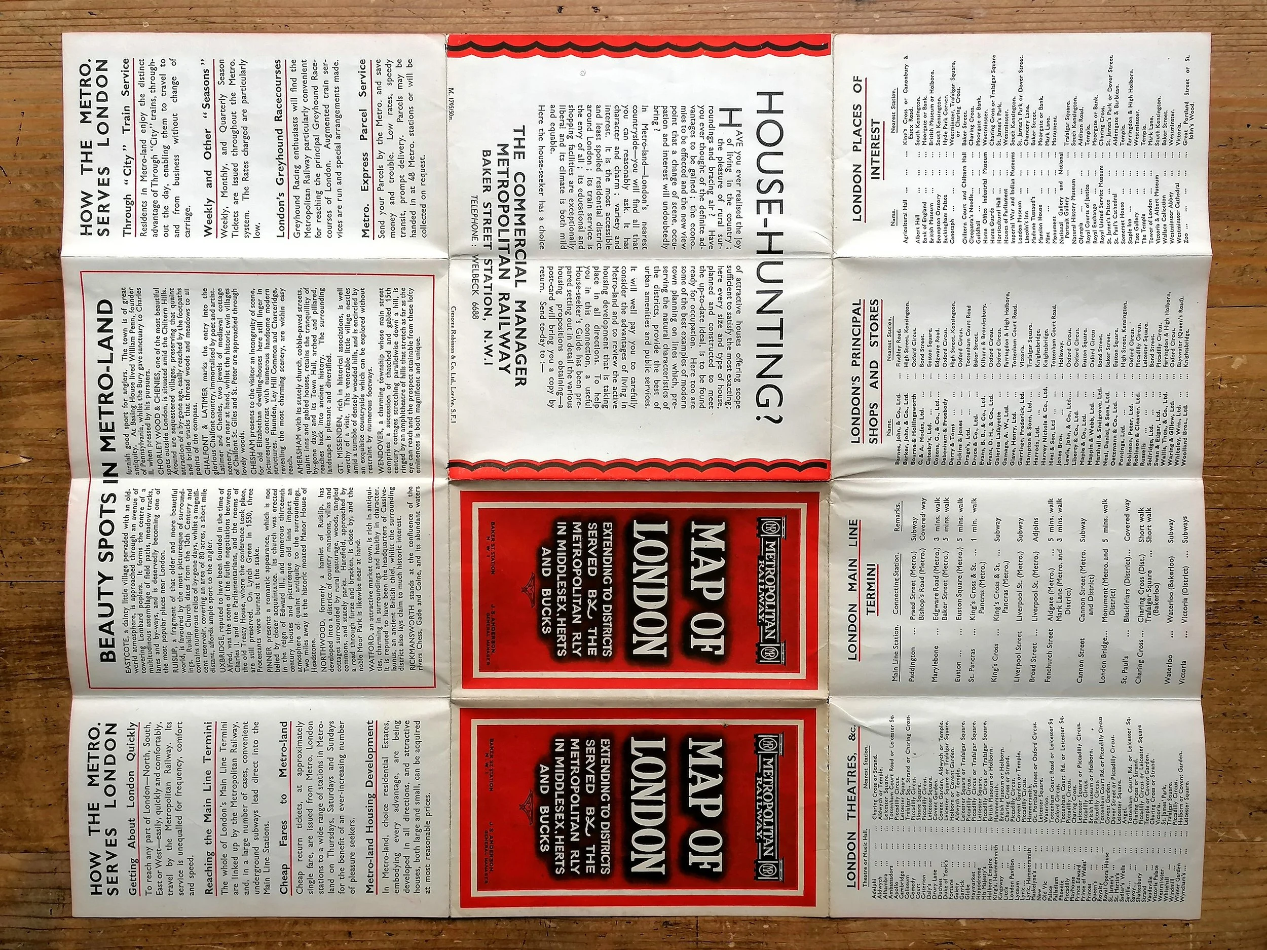
Printed by Crescens Robinsons & Co Ltd. for Metropolitan Railway. Colour lithograph on paper. Information on verso. Folded as issued. Print Code M.1795/ 100M. Dates to 1933. Stanmore extension is now open (Dec 1932). Cockfosters yet to open (July 1933)
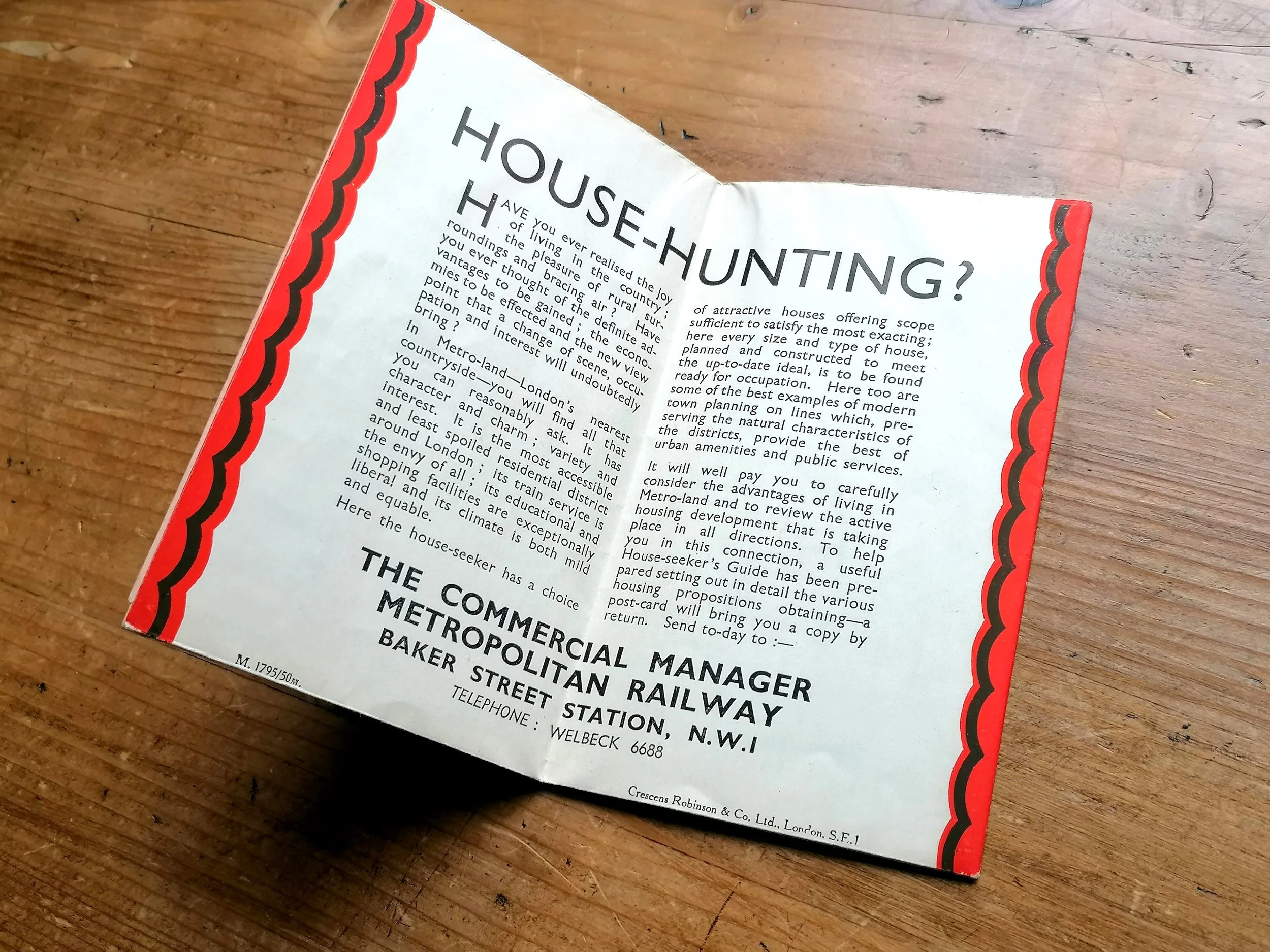
The series of maps titled “Metropolitan Railway Map of London” were issued within the ‘Metro-Land’ guides 1921-1933. These guides promoted the opportunities and virtues of living in the suburban housing developments built on Metropolitan Railway owned land, the railway itself affording easy access to the capital.
On this map Tim Bryars writes: “The emphasis is on work/life balance, commuting from Metro-land (a term coined by the railway company’s Publicity Department) with its golf courses, rapidly diminishing countryside and ‘beauty spots’ such as Pinner and Ruislip, “a fragment of that older and more beautiful world”. A panel on the verso extols the virtues of living in Metro-land, by purchasing from the Metropolitan Railway Country Estates, Ltd: unlike any of their competitors, the Met was directly involved in residential property development.”
Metropolitan Railway Map of London - Metropolitan Railway and Connections
Printed by Crescens Robinsons & Co Ltd. for Metropolitan Railway. Colour lithograph on paper. Information on verso. Folded as issued. Print Code M.1795/ 100M. Dates to 1933. Stanmore extension is now open (Dec 1932). Cockfosters yet to open (July 1933)
The series of maps titled “Metropolitan Railway Map of London” were issued within the ‘Metro-Land’ guides 1921-1933. These guides promoted the opportunities and virtues of living in the suburban housing developments built on Metropolitan Railway owned land, the railway itself affording easy access to the capital.
On this map Tim Bryars writes: “The emphasis is on work/life balance, commuting from Metro-land (a term coined by the railway company’s Publicity Department) with its golf courses, rapidly diminishing countryside and ‘beauty spots’ such as Pinner and Ruislip, “a fragment of that older and more beautiful world”. A panel on the verso extols the virtues of living in Metro-land, by purchasing from the Metropolitan Railway Country Estates, Ltd: unlike any of their competitors, the Met was directly involved in residential property development.”
- Price does NOT include delivery.
- Delivery/collection must be purchased/organised separate to product purchase.
- Please ensure you have read and agree to the conditions within our Returns Policy (link at bottom of page)
- Please use the Enquiry Form below to request a delivery estimate, if required.
Enquire about this item