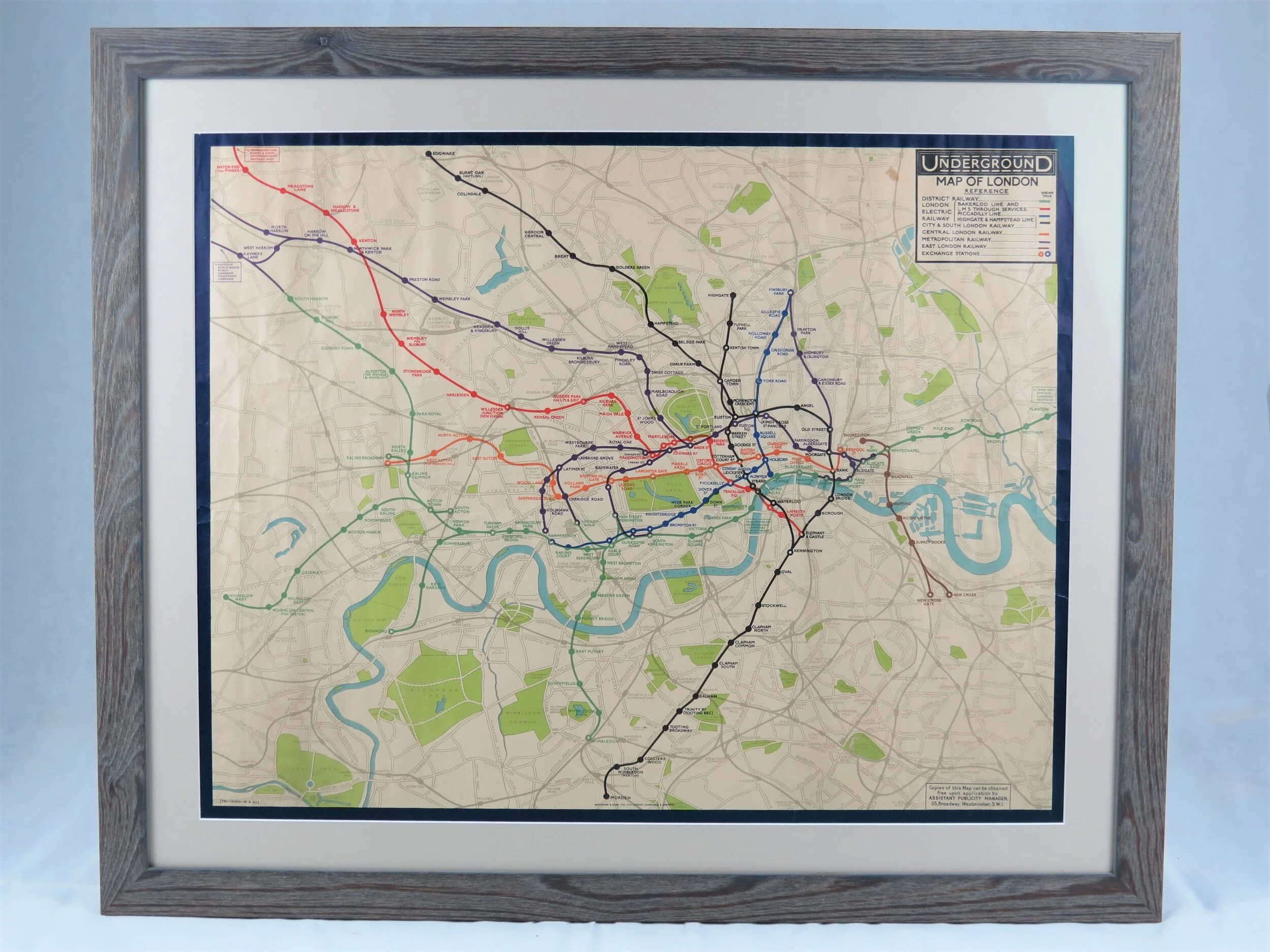
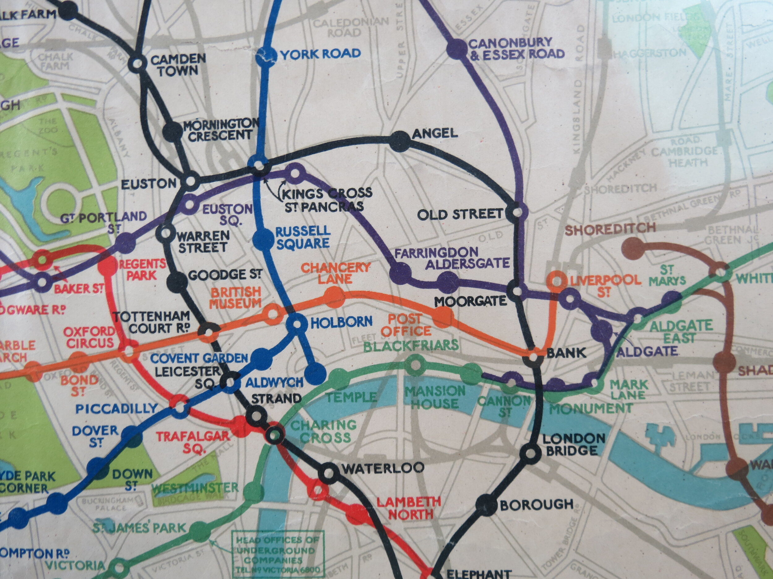
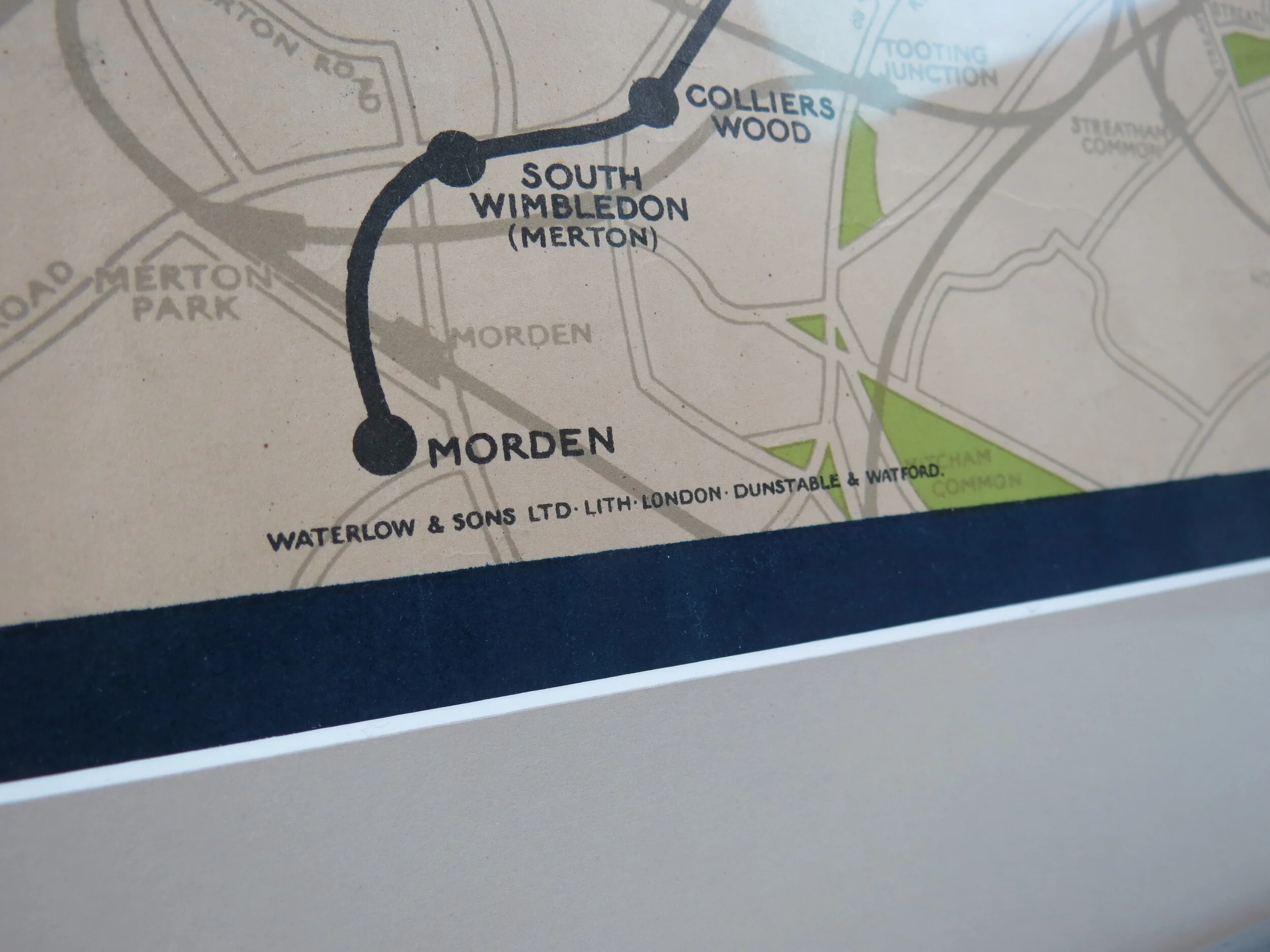
1907 London Underground Electric Railways Map
London Underground Electric Railways Map. 1907.
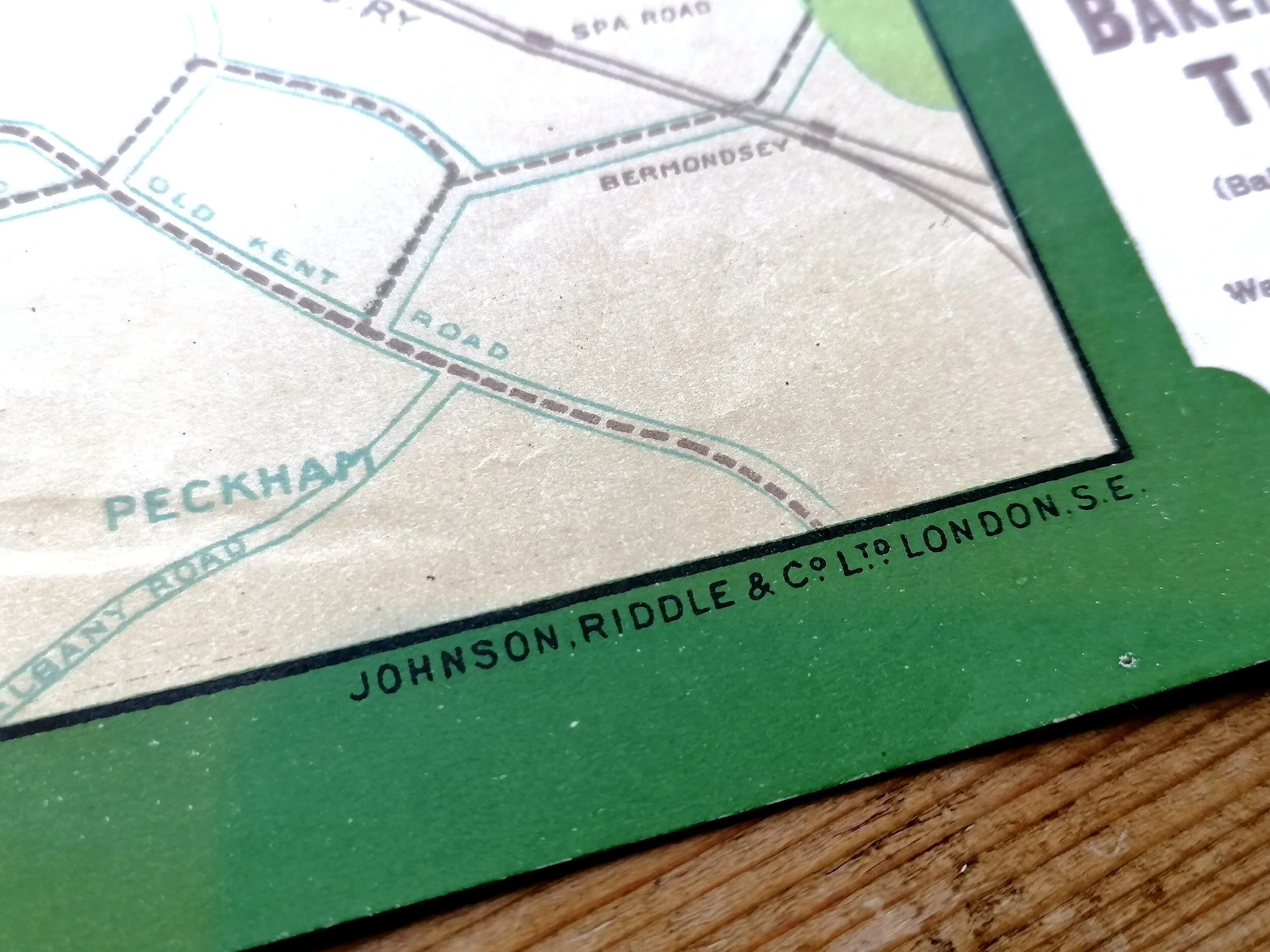
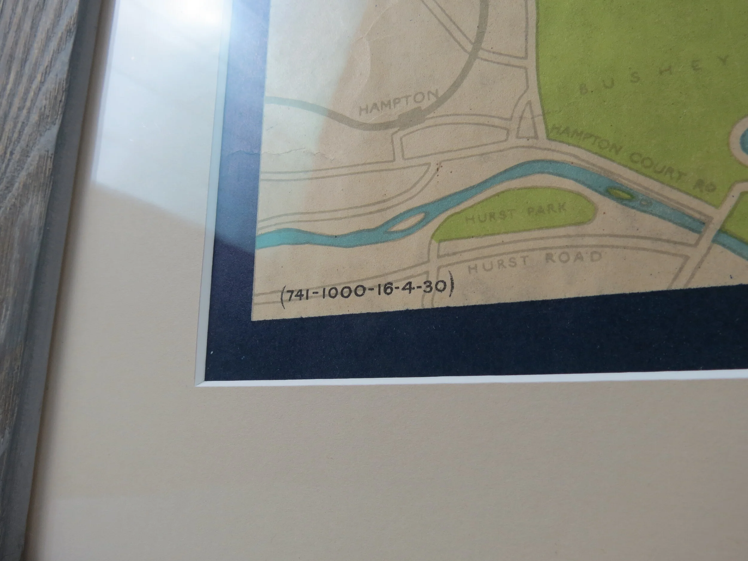
Printed By Johnson Riddle & Co Ltd for Underground Electric Railways of London (UERL). Blank Verso. Folded as issued. Paper map; 42cm x 31cm Condition: Excellent, professionally repaired closed tear at the right side where it was once attached to the book.
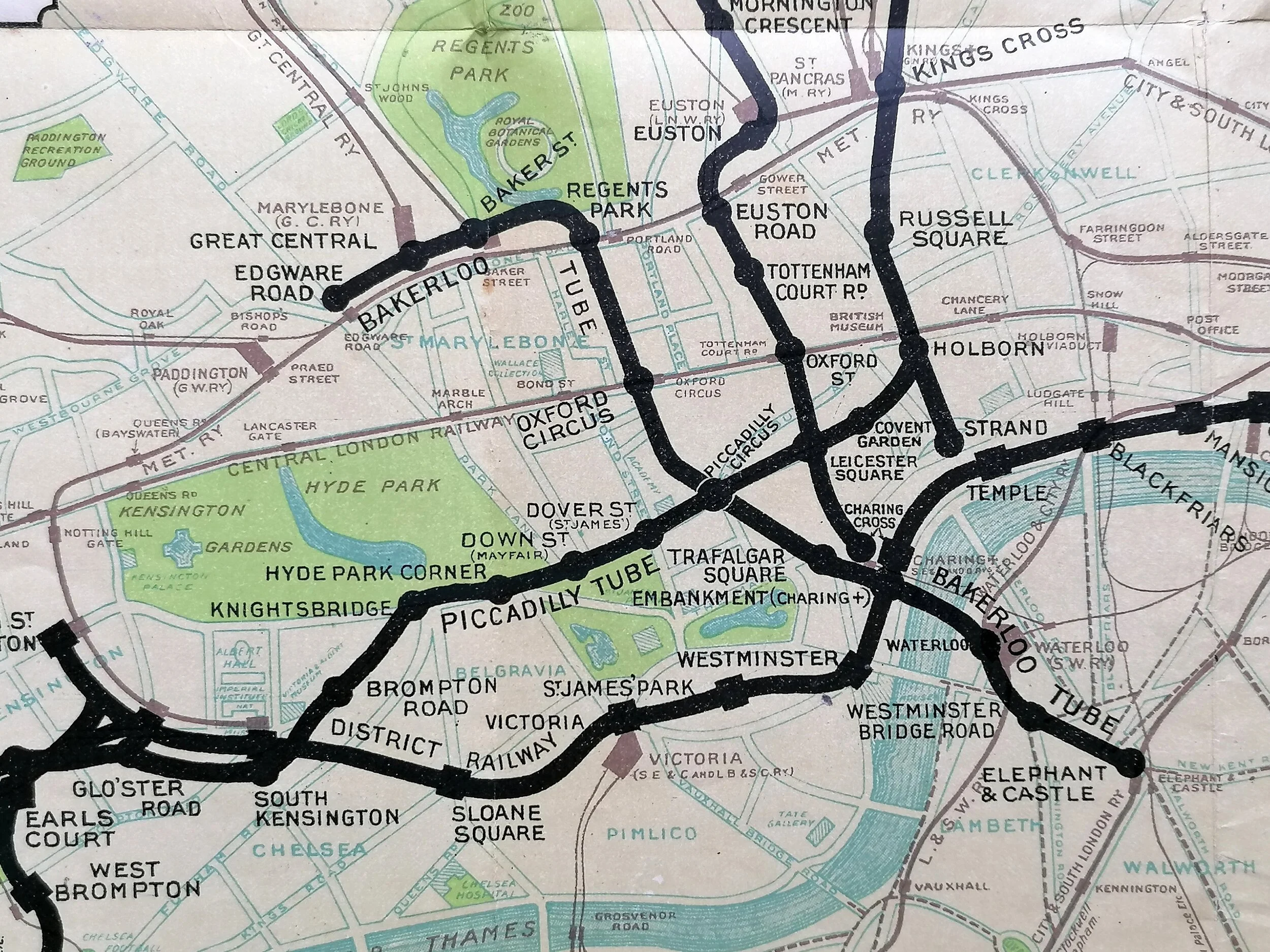
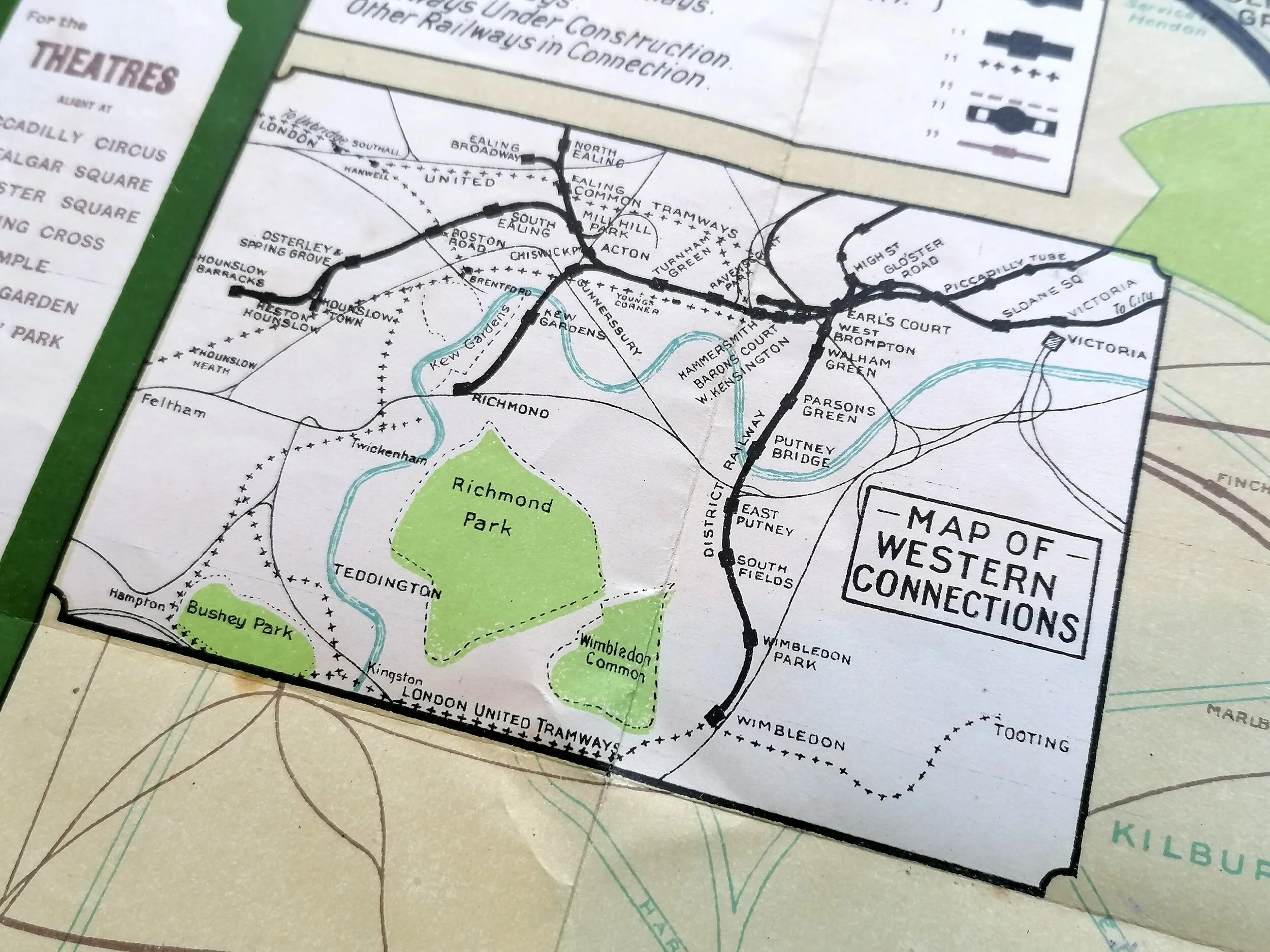
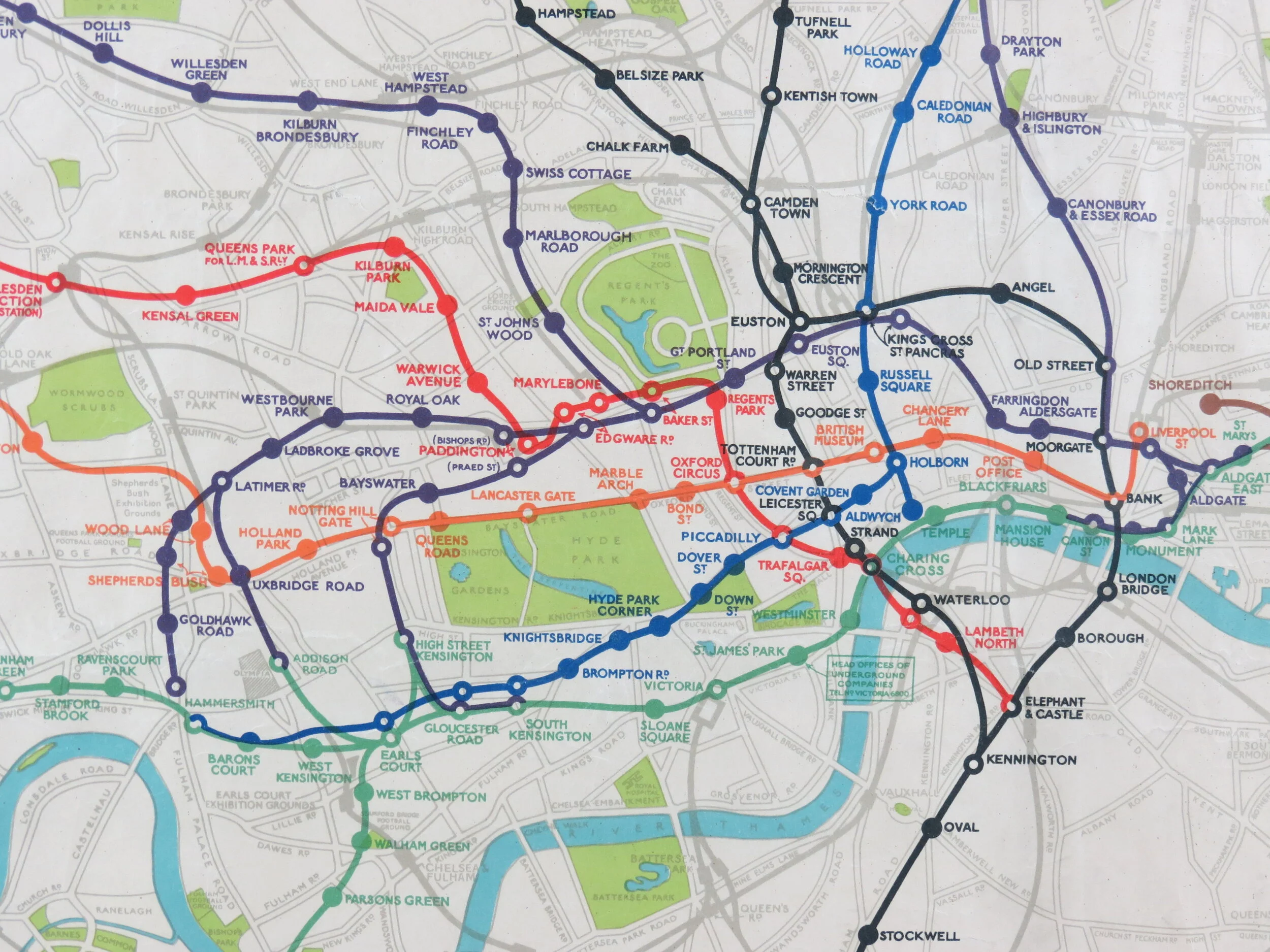
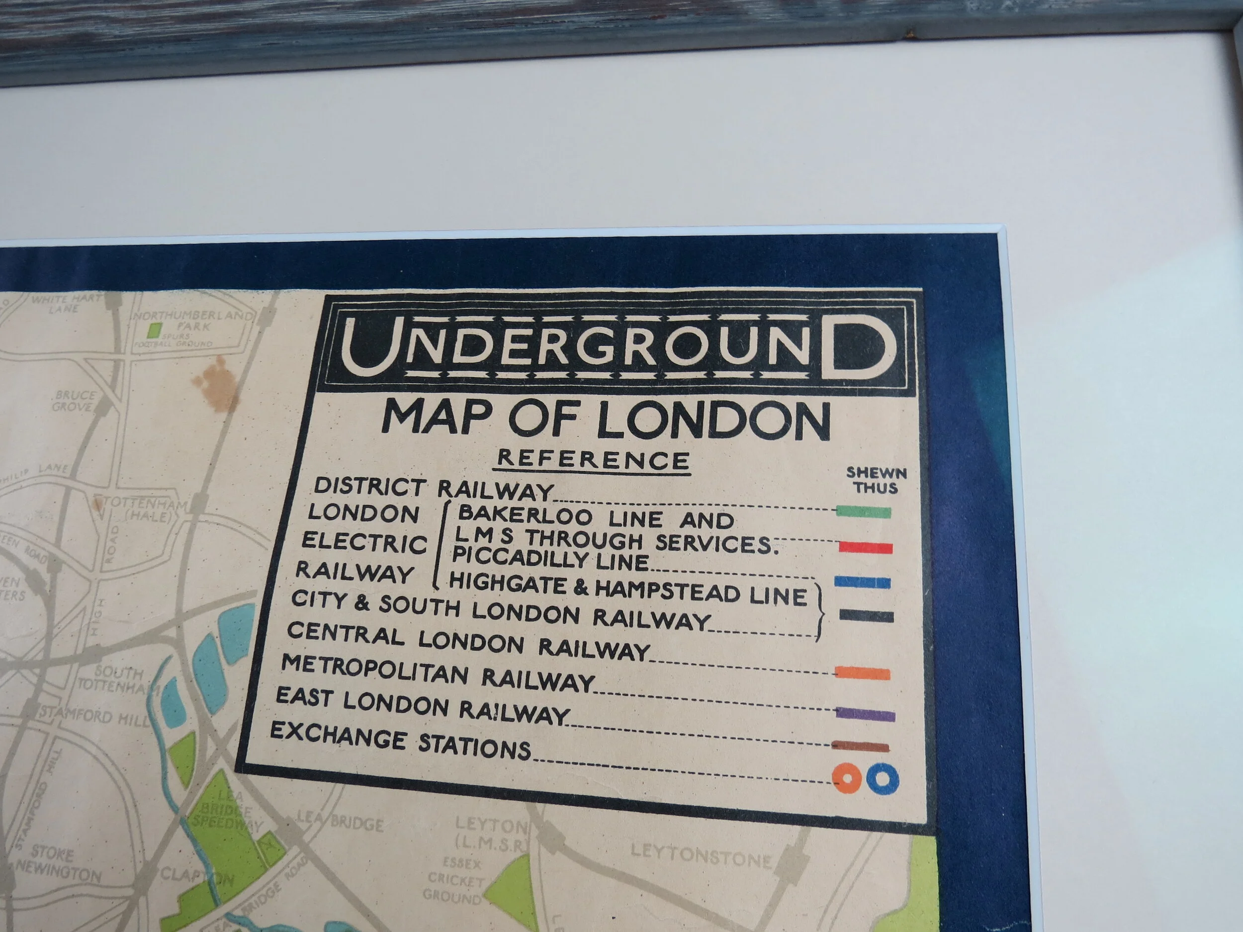
Printed in 1907, this map pre-dates the introduction of a single brand (and map) under which the various Underground Railway companies agreed to cooperate. It was published by the UERL - Underground Electric Railways of London - A consortium that operated 4 of the 9 Underground companies at the time. The lines operated by the UERL are shown in bold with the rival lines relegated to the background - rather unhelpful for passengers trying to navigate across the system!
This map features the first appearance of the Hampstead Tube (opened the same year) and an early appearance of the name 'Bakerloo Tube' coined in 1906 as a catchy shortening of Baker Street & Waterloo railway. The striking green border was adopted for the first unified map produced in 1908 and would remain until 1913.
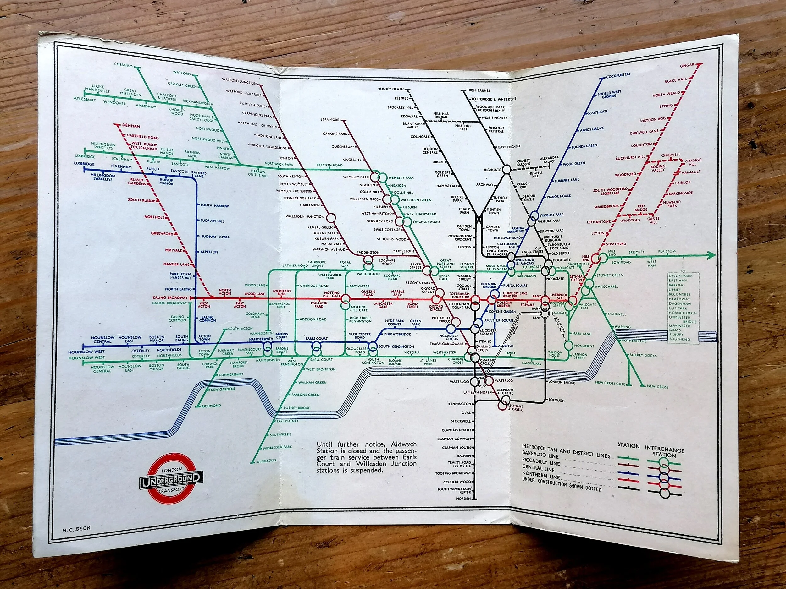
It wouldn’t be until 1908, owing to their dire financial situation, that the Underground railway companies agreed to coordinate under a single map and brand identity
Want one? let us know and we will contact you when we get another in stock.


