1914 London Underground Pocket Map - First Roundel Logo
“UndergrounD - Map of The Electric Railways - What to See & How To See it - Stations Everywhere" 1914
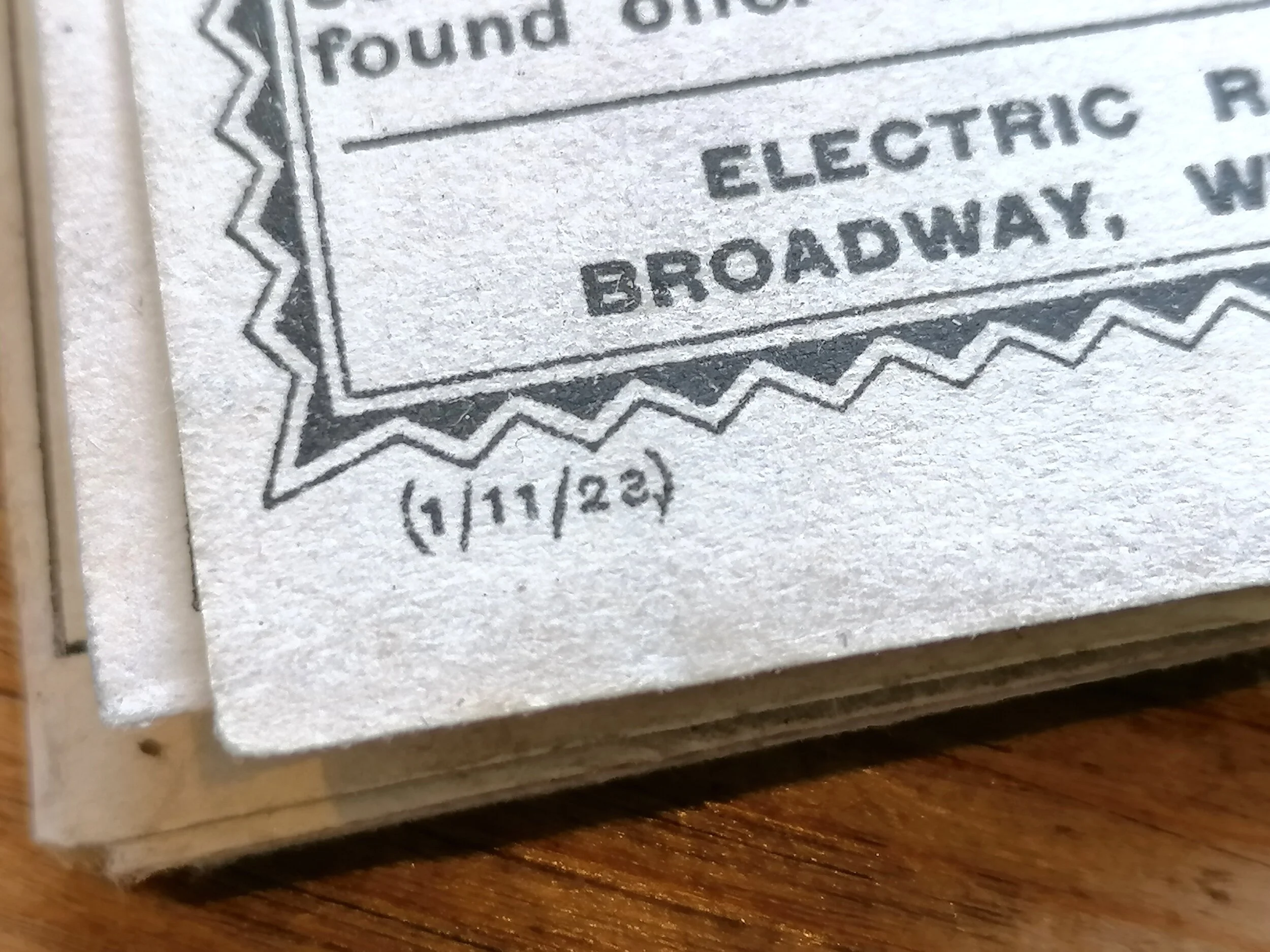
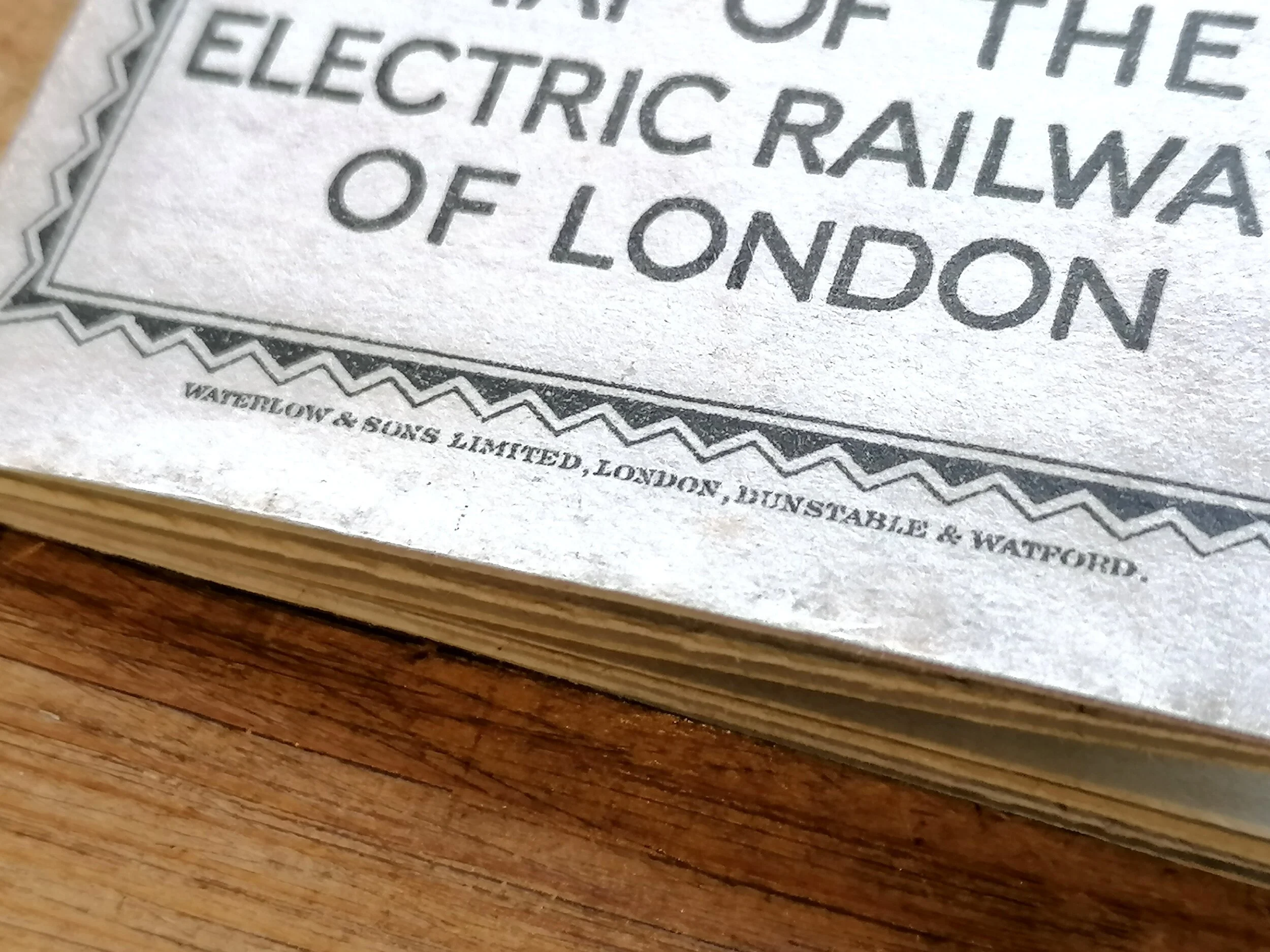
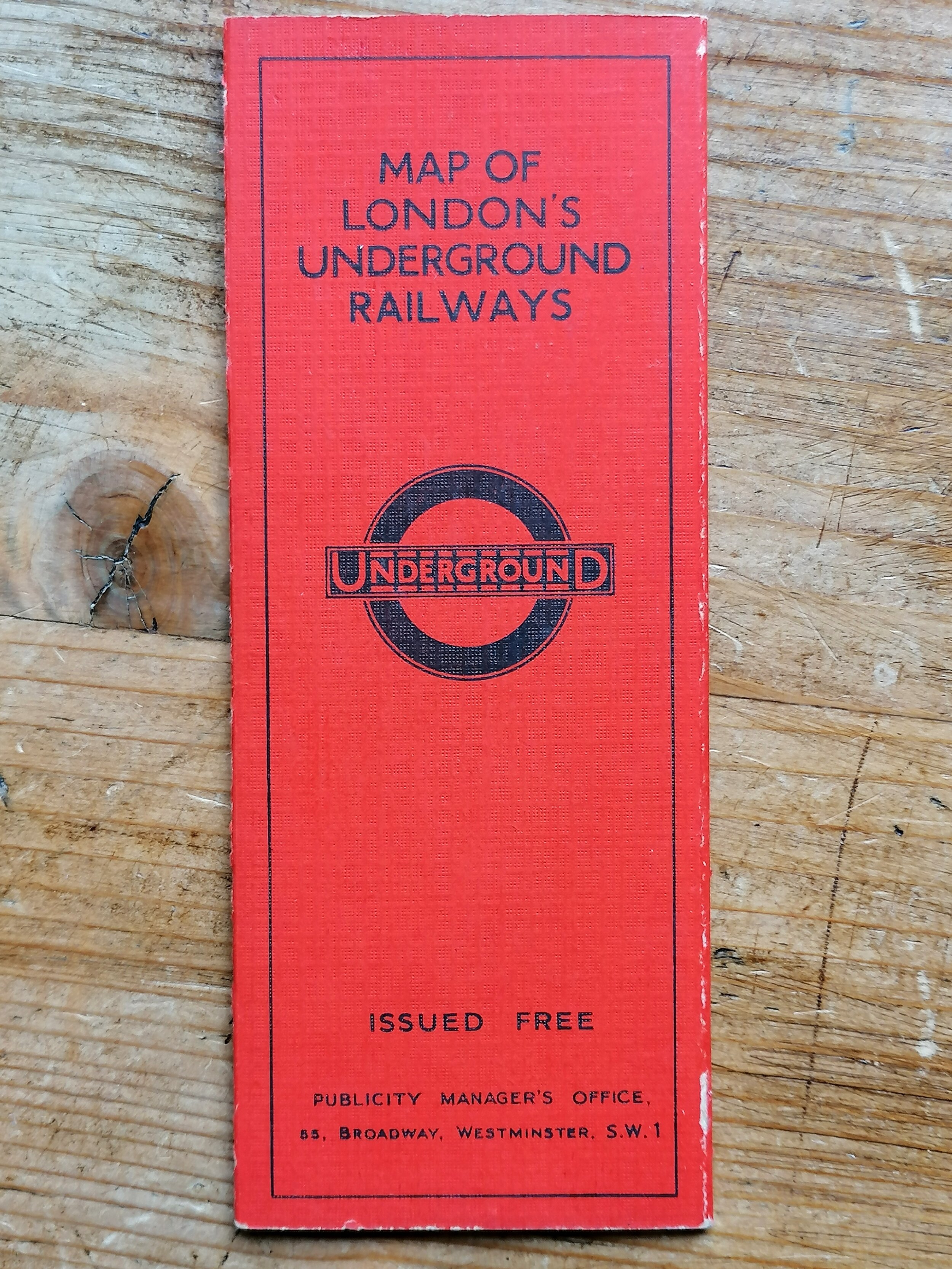
Printed by Johnson Riddle & Co Ltd for Underground Electric Railways of London (UERL). 1914 issue with Great Central Railway overprint on cover and map. Paper pocket map folded as issued. Measures 43cm x 34cm when opened. Condition: Good. Some folds reinforced with archival tape in places.
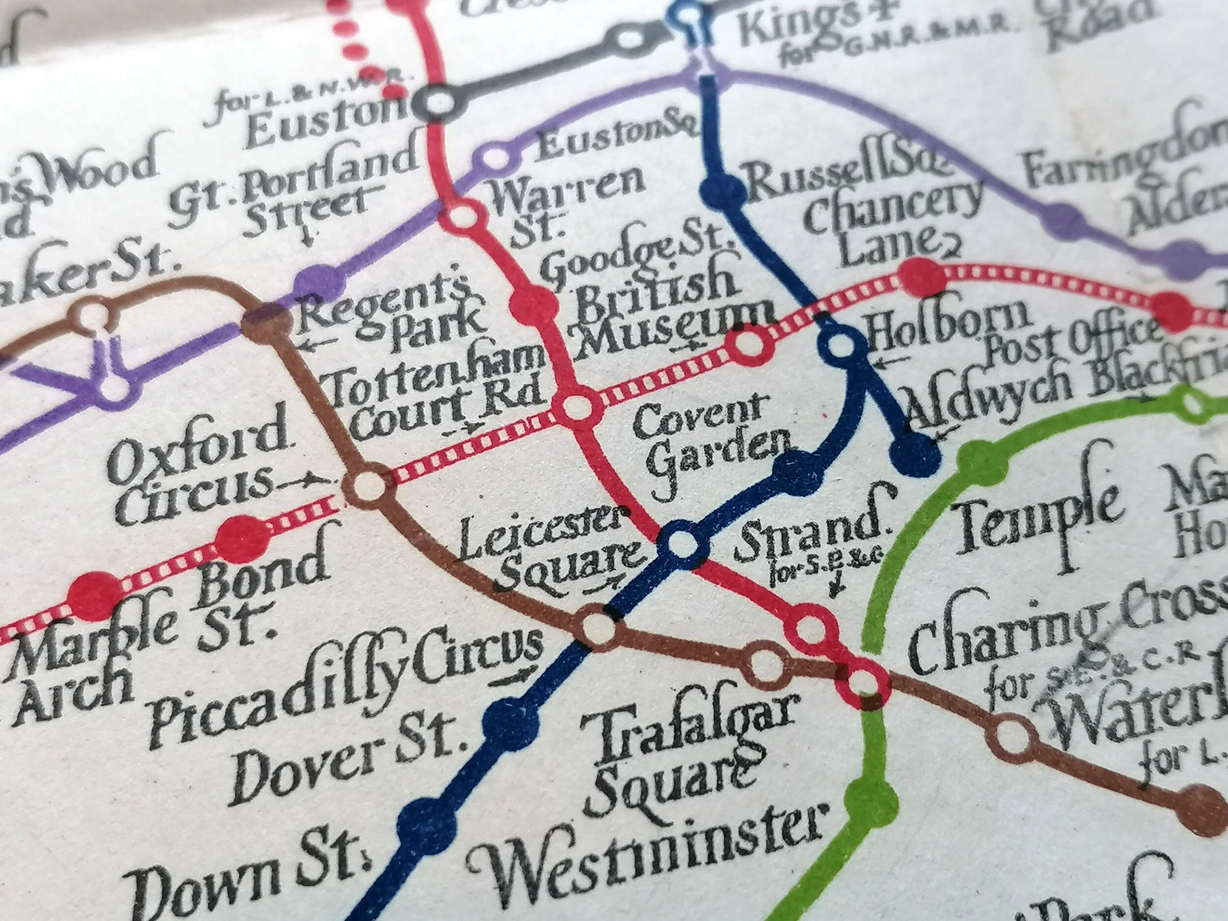
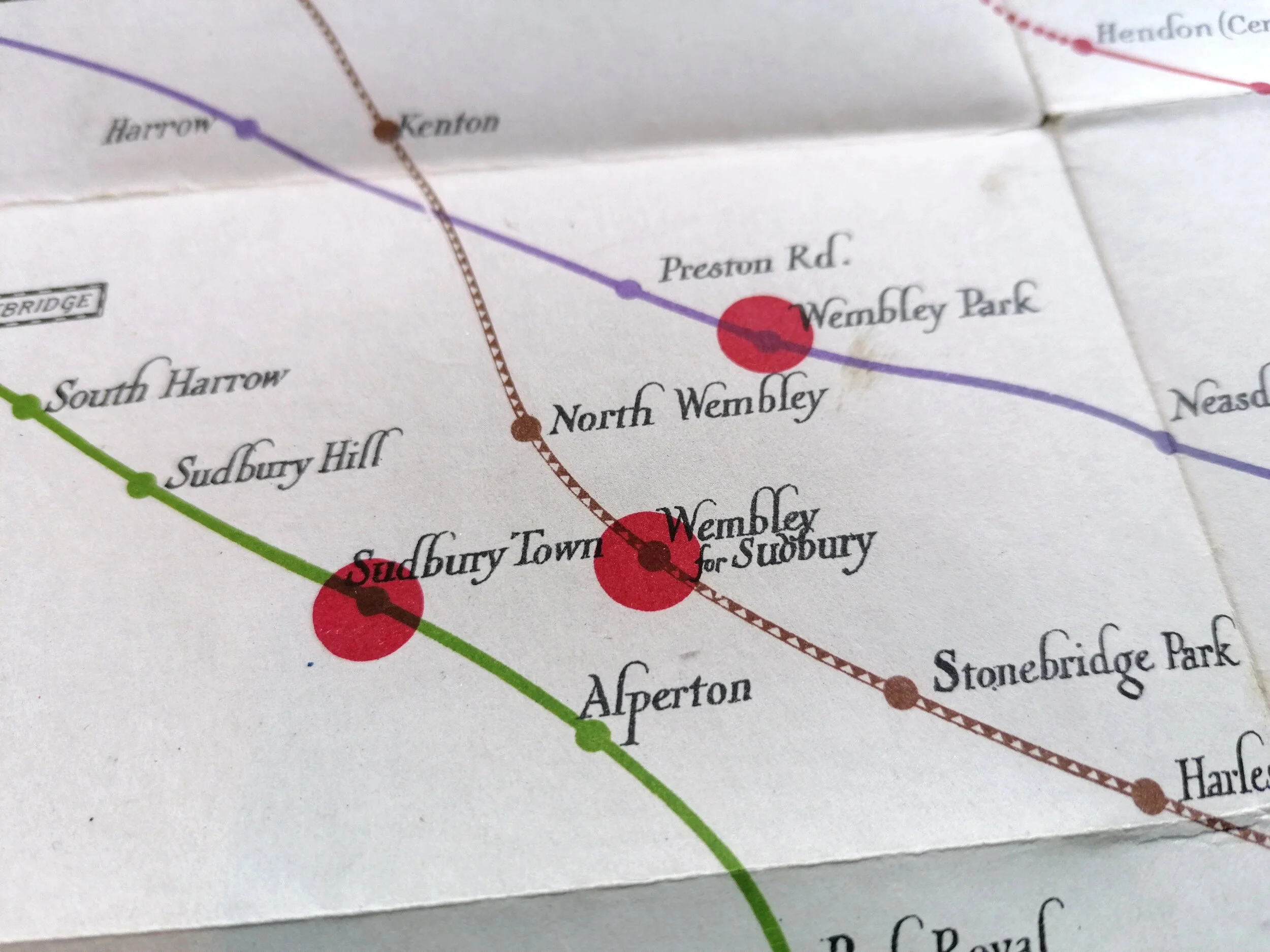
This rather sombre map of the London Underground was issued in late 1914, at the start of World War One. The redirection and rationing of many resources meant that this map, unlike its vibrant predecessor, was printed on low grade paper stock and saw a significantly reduced colour palette. It wasnt until 1919 that separate line colours were reinstated and even later (1922) before the quality of the paper improved.
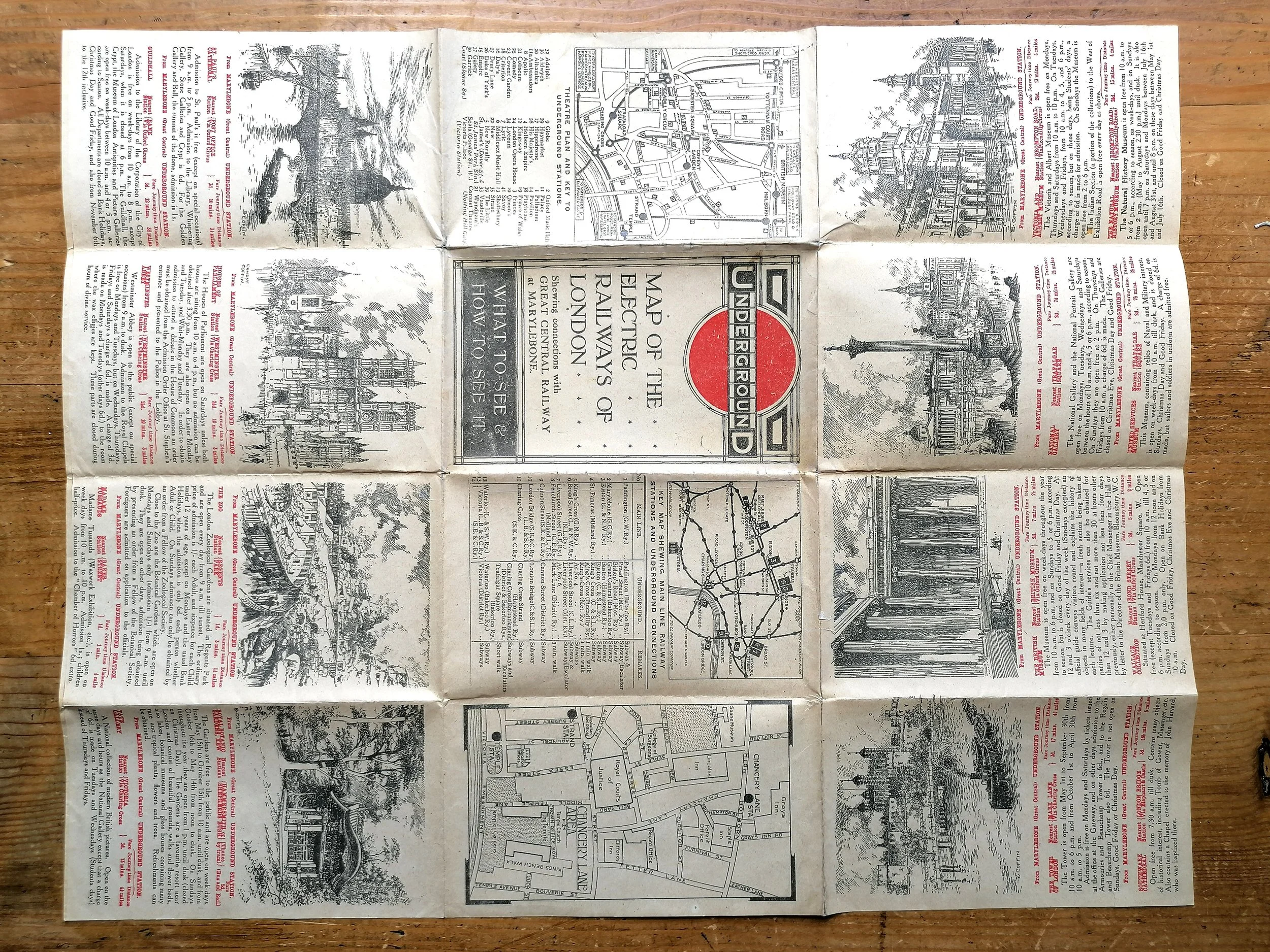
This map carries the first Underground roundel ogo, where the red disc has been placed behind the UndergrounD workdmark. This logo first appeared on th 1913 map and was replaced with the ‘Johnston ring’ in 1919. This issue has an overprint by Great Central Railway whose terminus at Marylebone is highlighted on the map.
Planned extensions of the Bakerloo, Central and Hampstead tubes are shown as dotted lines. These extensions were mostly delayed by the onset of WW1 and not completed until the early 1920s.
The cover features one of the first printed examples of the Underground Bullseye logo. This device was first conceived in 1908 for platform station name signs make them easier to see among the advertisements that covered the station walls. However, it wasn't until 1912 that the "UndergrounD" work mark was combined with the red disc to form one of the most enduring brand devices in history. The new logo first appeared on a 1912 poster by Charles Sharland. Maps and station signage followed in 1913.
FREE UK DELIVERY. Non-UK Delivery available, please request a quotation
“UndergrounD - Map of The Electric Railways - What to See & How To See it - Stations Everywhere" 1914
Printed by Johnson Riddle & Co Ltd for Underground Electric Railways of London (UERL). 1914 issue with Great Central Railway overprint on cover and map. Paper pocket map folded as issued. Measures 43cm x 34cm when opened. Condition: Good. Some folds reinforced with archival tape in places.
This rather sombre map of the London Underground was issued in late 1914, at the start of World War One. The redirection and rationing of many resources meant that this map, unlike its vibrant predecessor, was printed on low grade paper stock and saw a significantly reduced colour palette. It wasnt until 1919 that separate line colours were reinstated and even later (1922) before the quality of the paper improved.
This map carries the first Underground roundel ogo, where the red disc has been placed behind the UndergrounD workdmark. This logo first appeared on th 1913 map and was replaced with the ‘Johnston ring’ in 1919. This issue has an overprint by Great Central Railway whose terminus at Marylebone is highlighted on the map.
Planned extensions of the Bakerloo, Central and Hampstead tubes are shown as dotted lines. These extensions were mostly delayed by the onset of WW1 and not completed until the early 1920s.
The cover features one of the first printed examples of the Underground Bullseye logo. This device was first conceived in 1908 for platform station name signs make them easier to see among the advertisements that covered the station walls. However, it wasn't until 1912 that the "UndergrounD" work mark was combined with the red disc to form one of the most enduring brand devices in history. The new logo first appeared on a 1912 poster by Charles Sharland. Maps and station signage followed in 1913.
FREE UK DELIVERY. Non-UK Delivery available, please request a quotation