

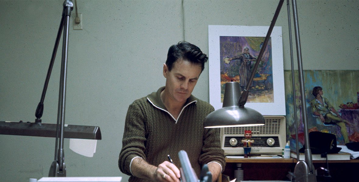


First Large Map of Disneyland (1958) By Sam McKim
Walt Disney’s Magical Kingdom - Disneyland, Anaheim California
Designed by Sam McKim (1924-2004). Dated 1958. 1958b variant. Colour lithograph on paper. Blank Verso. Measures 45” x 30”. Excellent Condition. Folded as issued. Some subtle age-related marks in places. Signature at bottom edge.
In 1958, the first large souvenir map of Disneyland was published, designed by the Canadian actor-turned-artist Sam McKim. These large maps (often referred to as 'Mousemaps') have become extremely collectable sometimes referred to as ‘Mousemaps’. Remarkably, 1958 saw three variants (commonly known as 1958a, 1958b and 1958c) as McKim attempted to keep up with the rapid speed of development across the park. Whilst the differences between the three maps are extremely subtle, this can be identified as the 1958b variant as the Jungle cruise water (bottom left) has become blue (shown as green on 1958a) but Cascade Peak doesn't yet feature (1958c).
Upon opening in 1955, Disneyland was marketed as the ‘Happiest Place on Earth’ and this map captures this wonderfully. McKim’s stunning birds-eye illustration was designed to instil excitement, wonder and patriotism. This pictorial map is rich in detail, contain perfectly positioned drawings amongst the landscape and the text and labels sits effortlessly in the design. There are characters, animals and motion depicted throughout (e.g. running or flowing water) to give a sense of a living, breathing, exciting place.
McKim wasn’t the first to illustrate Disneyland this way, early concept drawings were produced to gain financial backing and there were some earlier maps produced in pocket size from 1955. However, It wasn’t until 1958 that Disney realised the opportunity to sell large souvenir maps, as a way of visitors to relive their experience - or indeed plan their next visit.
Free UK Delivery. For Non-UK Delivery please request quotation.