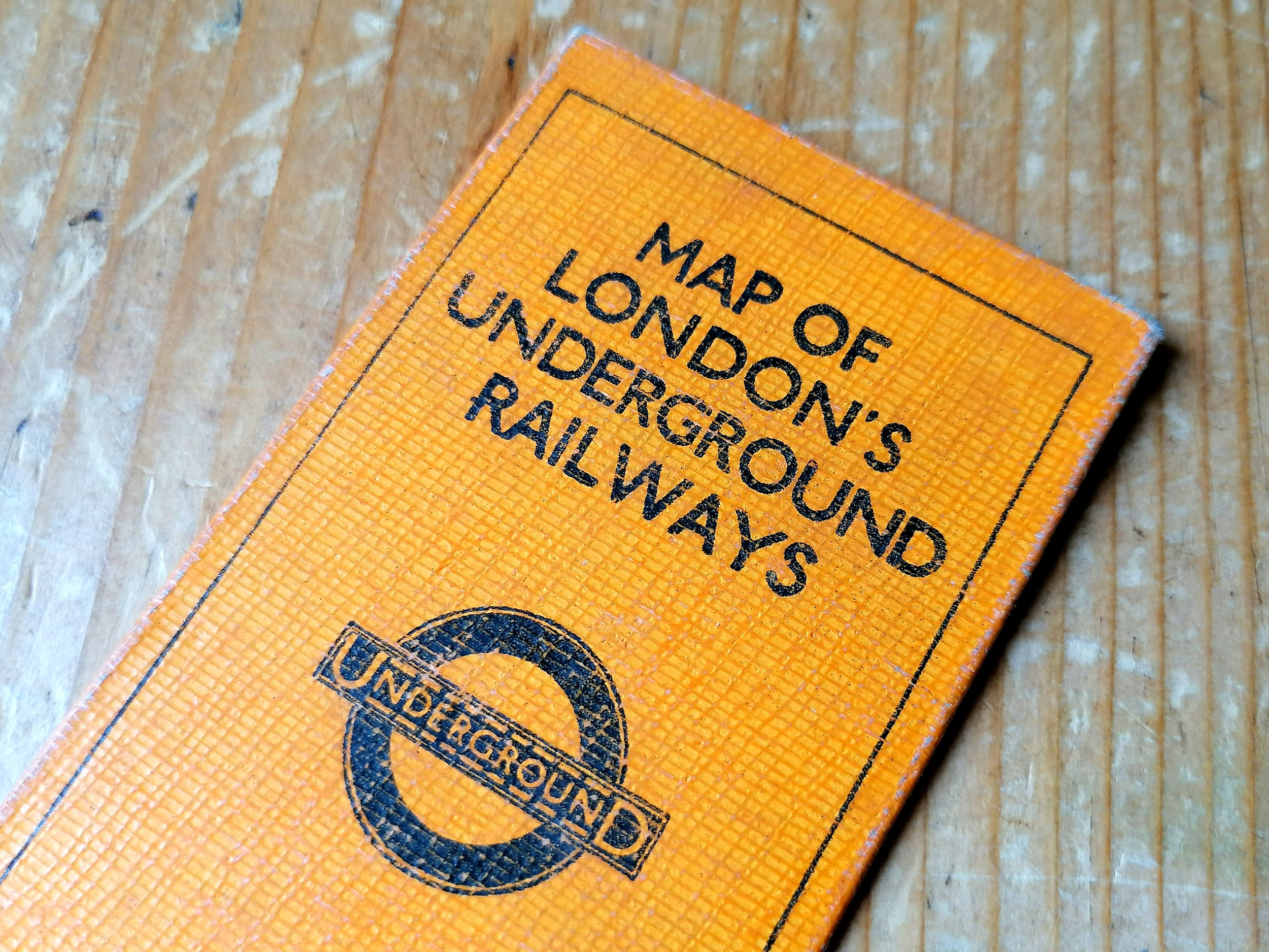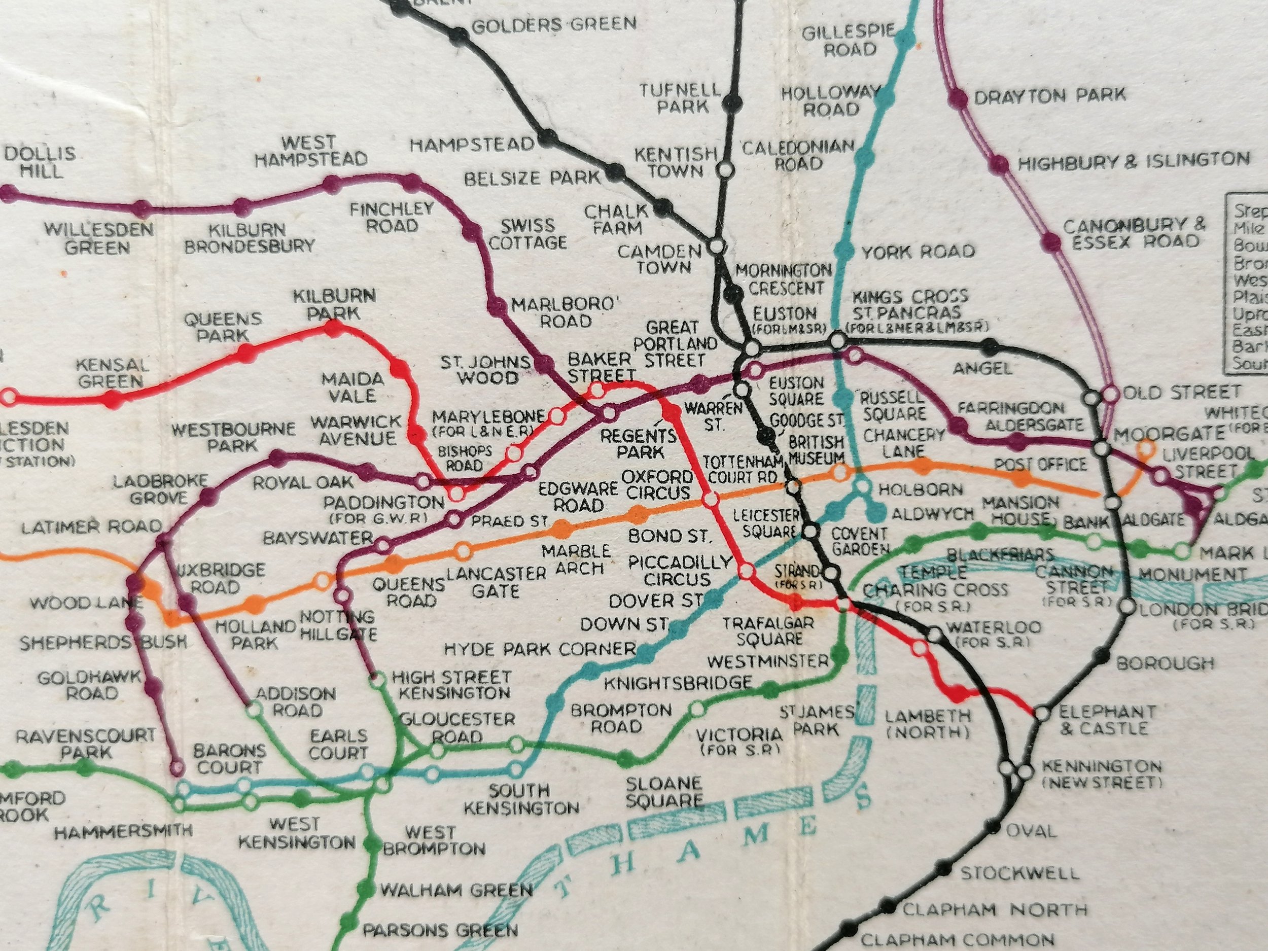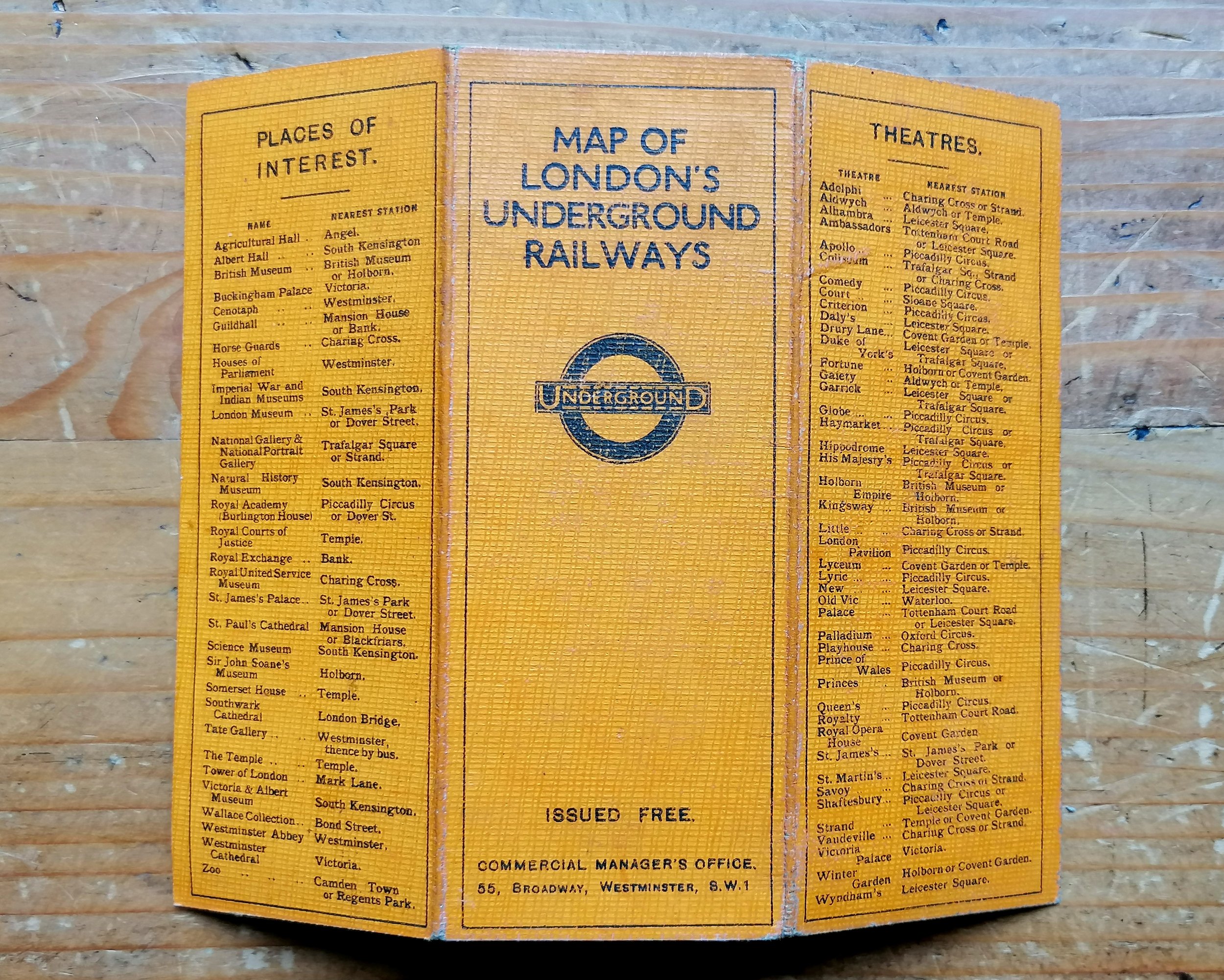


1911 London Underground Pocket Map
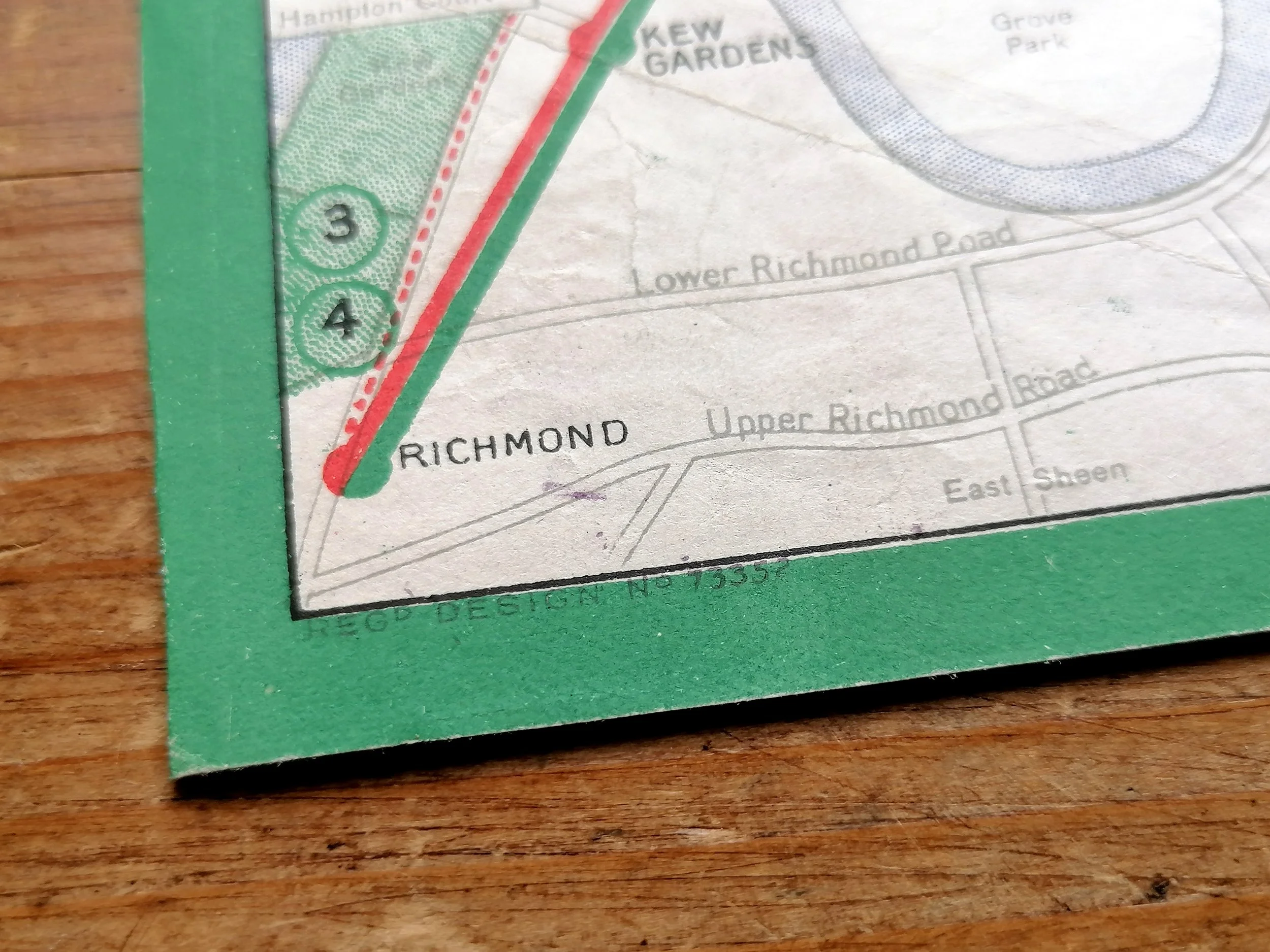
The Underground Map of London - Map & Guide. 1911.
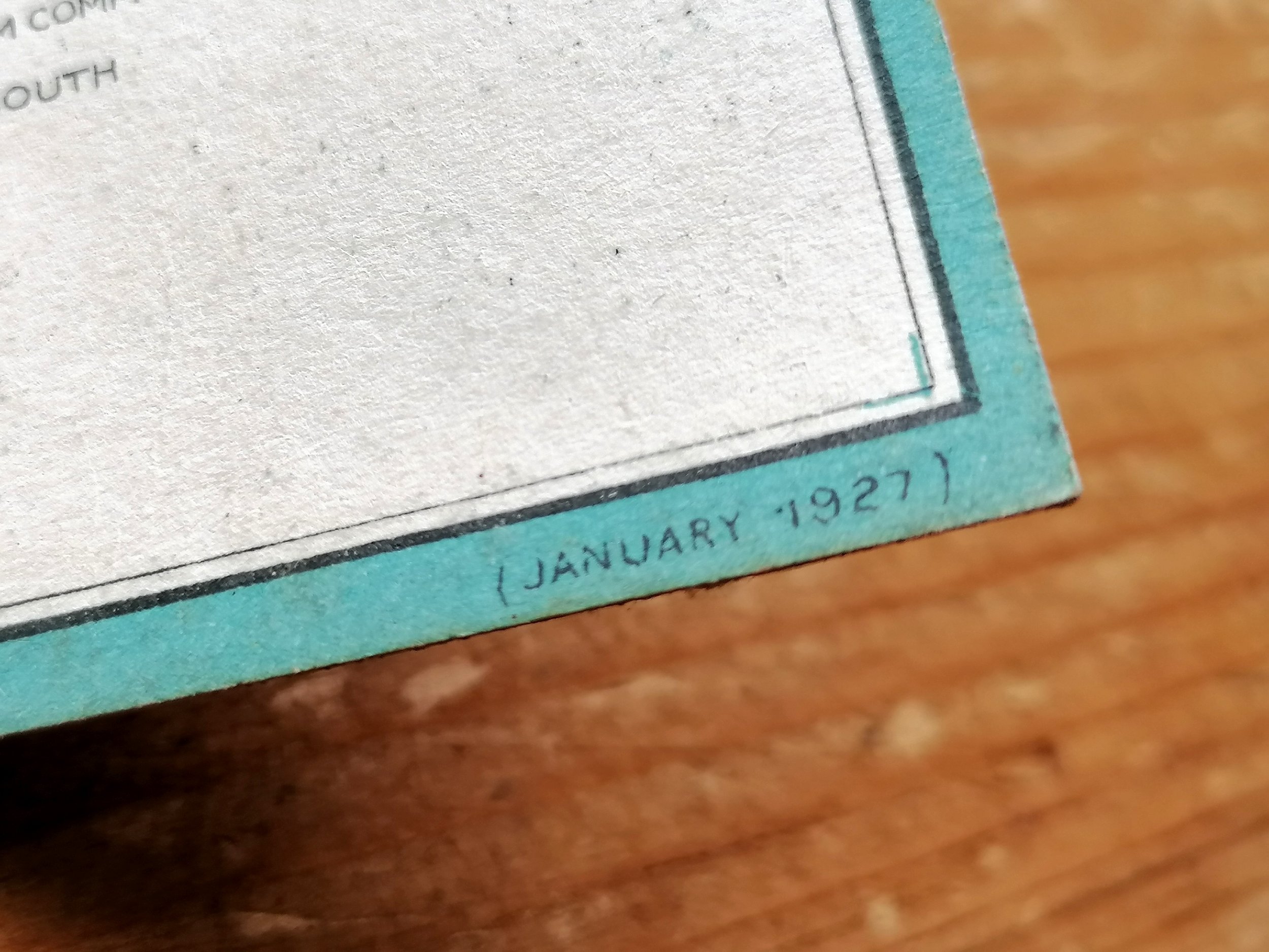
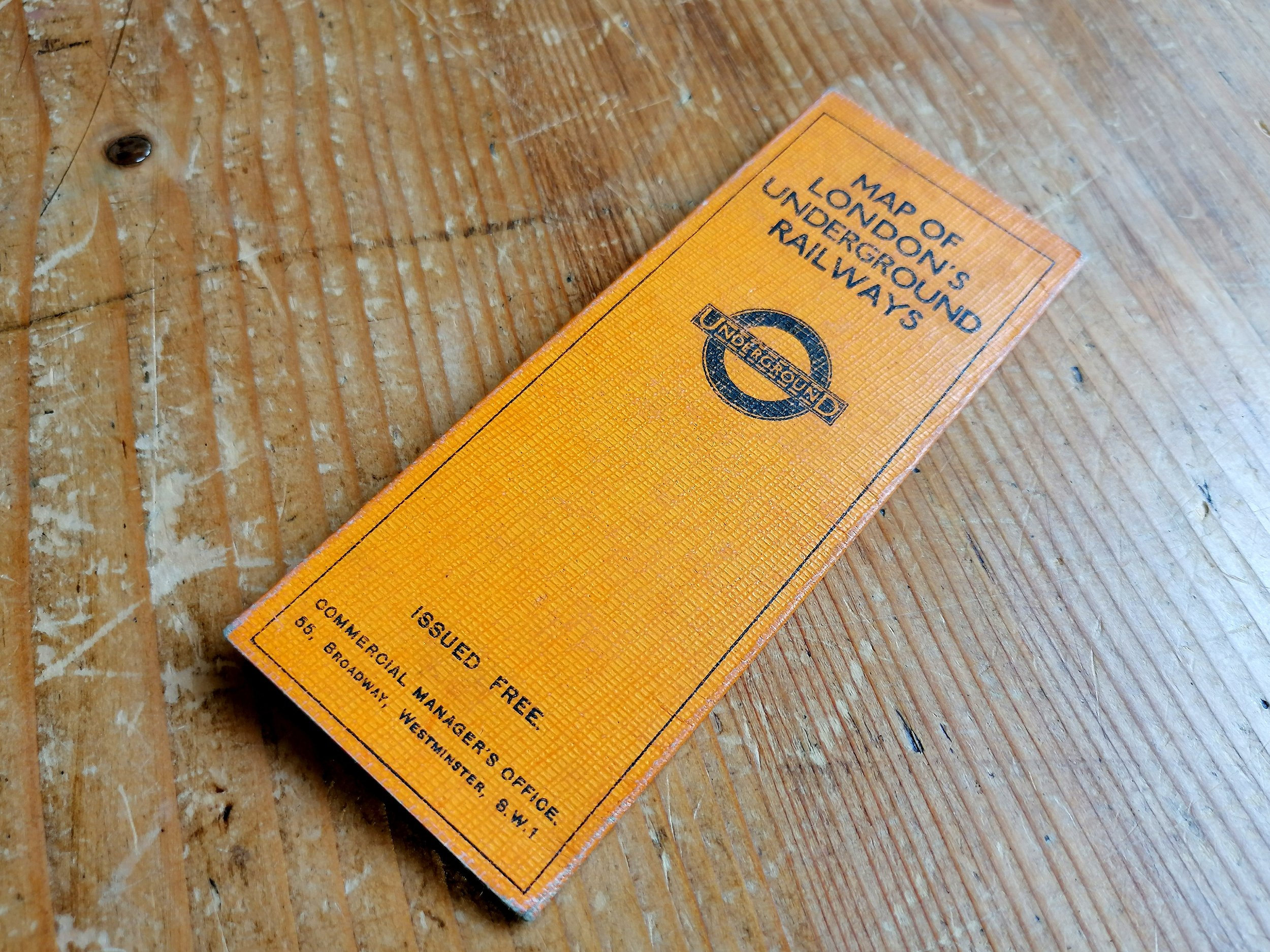
Printed by Johnson Riddle & Co Ltd for London Underground Electric Railway Company. Folding paper map, 26.7cm x 20.2cm, Condition: Excellent example. Some additional folds and few very small (repaired) edge tears.
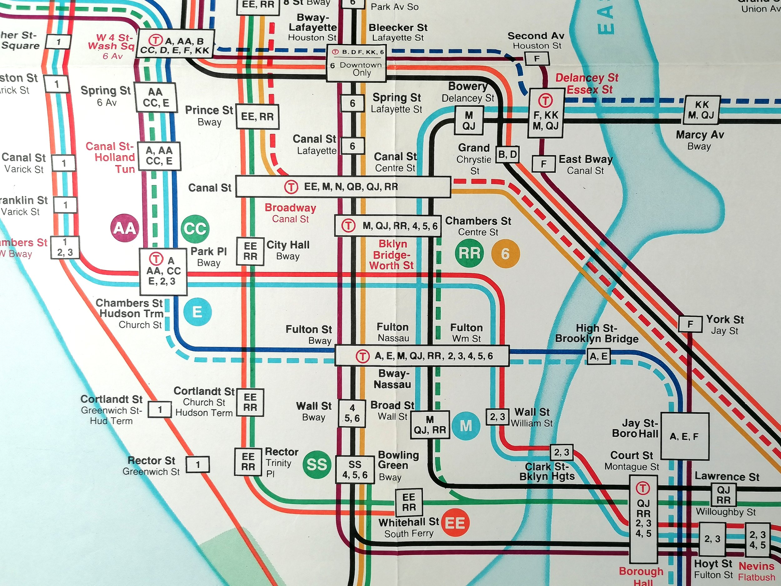
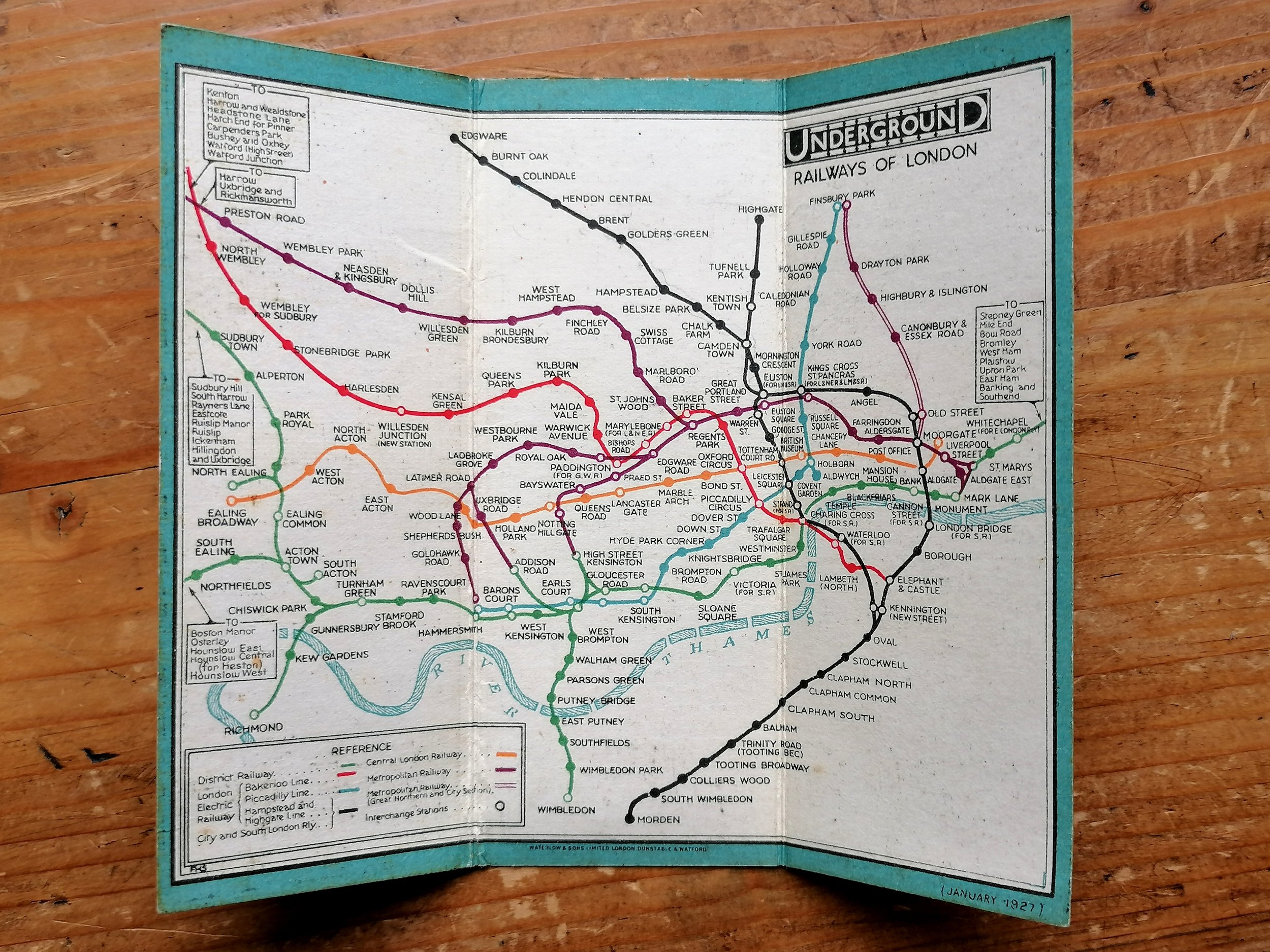
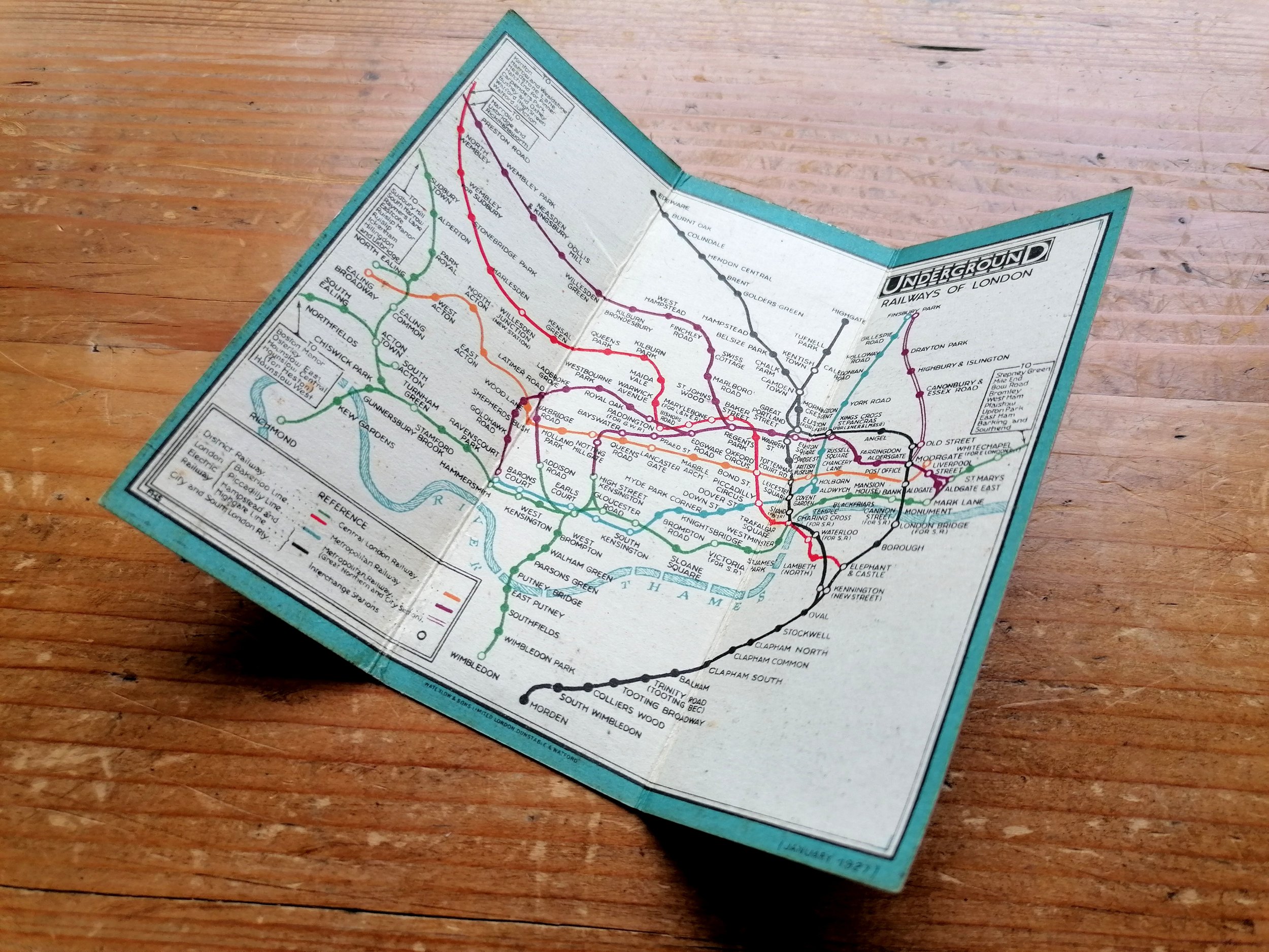
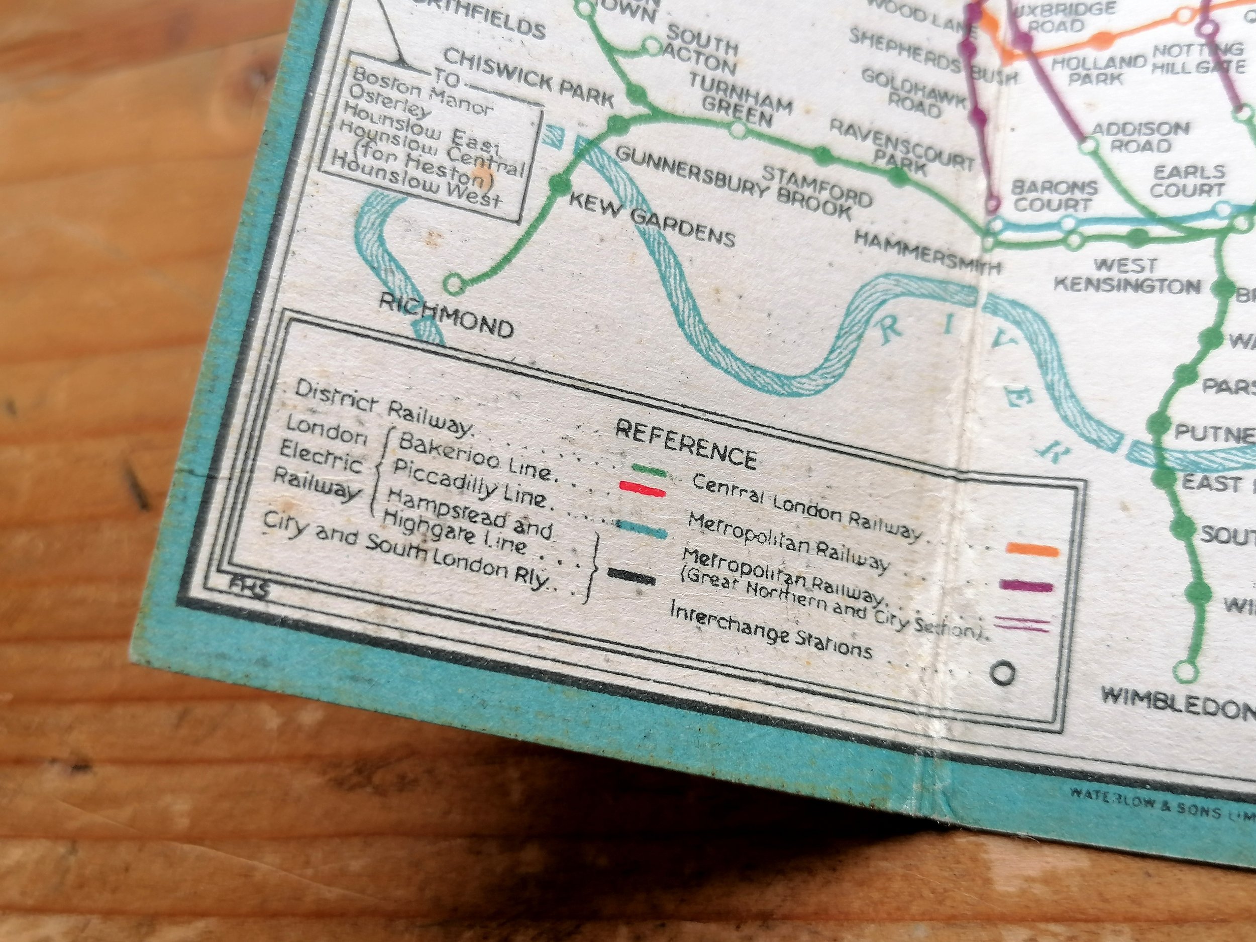
This colourful map is among the earliest 'unified' maps of the London Underground system and bears the first ‘UndergrounD’ logo. Specifically designed for tourists, the verso presents London’s sights and Theatres shown as colour-coded and numbered icons on the map. This edition is a considerable improvement on the 1908 design in terms of clarity - enabled by non-topographical smoothing and straightening of lines to an extent not seen again until HC Beck's diagram of 1933.
The early 1900s saw a rapid pace in the development of 'deep-level tubes' and by 1906, there were numerous Underground railway companies operating independently to one another to the determent of themselves and confused passengers.
In 1907, the four main London Underground railway companies, unified by their dire financial situation, came together and agreed to promote their joint interests as a complete Underground railway system. In 1908, the first all-inclusive map design of the London Underground was approved and the companies agreed to operate under a single ‘UndergrounD brand. The streamlining of station signage, posters and publicity were all coordinated immediately.
FREE UK DELIVERY. Non-UK Delivery available, please request a quotation
The Underground Map of London - Map & Guide. 1911.
Printed by Johnson Riddle & Co Ltd for London Underground Electric Railway Company. Folding paper map, 26.7cm x 20.2cm, Condition: Excellent example. Some additional folds and few very small (repaired) edge tears.
This colourful map is among the earliest 'unified' maps of the London Underground system and bears the first ‘UndergrounD’ logo. Specifically designed for tourists, the verso presents London’s sights and Theatres shown as colour-coded and numbered icons on the map. This edition is a considerable improvement on the 1908 design in terms of clarity - enabled by non-topographical smoothing and straightening of lines to an extent not seen again until HC Beck's diagram of 1933.
The early 1900s saw a rapid pace in the development of 'deep-level tubes' and by 1906, there were numerous Underground railway companies operating independently to one another to the determent of themselves and confused passengers.
In 1907, the four main London Underground railway companies, unified by their dire financial situation, came together and agreed to promote their joint interests as a complete Underground railway system. In 1908, the first all-inclusive map design of the London Underground was approved and the companies agreed to operate under a single ‘UndergrounD brand. The streamlining of station signage, posters and publicity were all coordinated immediately.
FREE UK DELIVERY. Non-UK Delivery available, please request a quotation