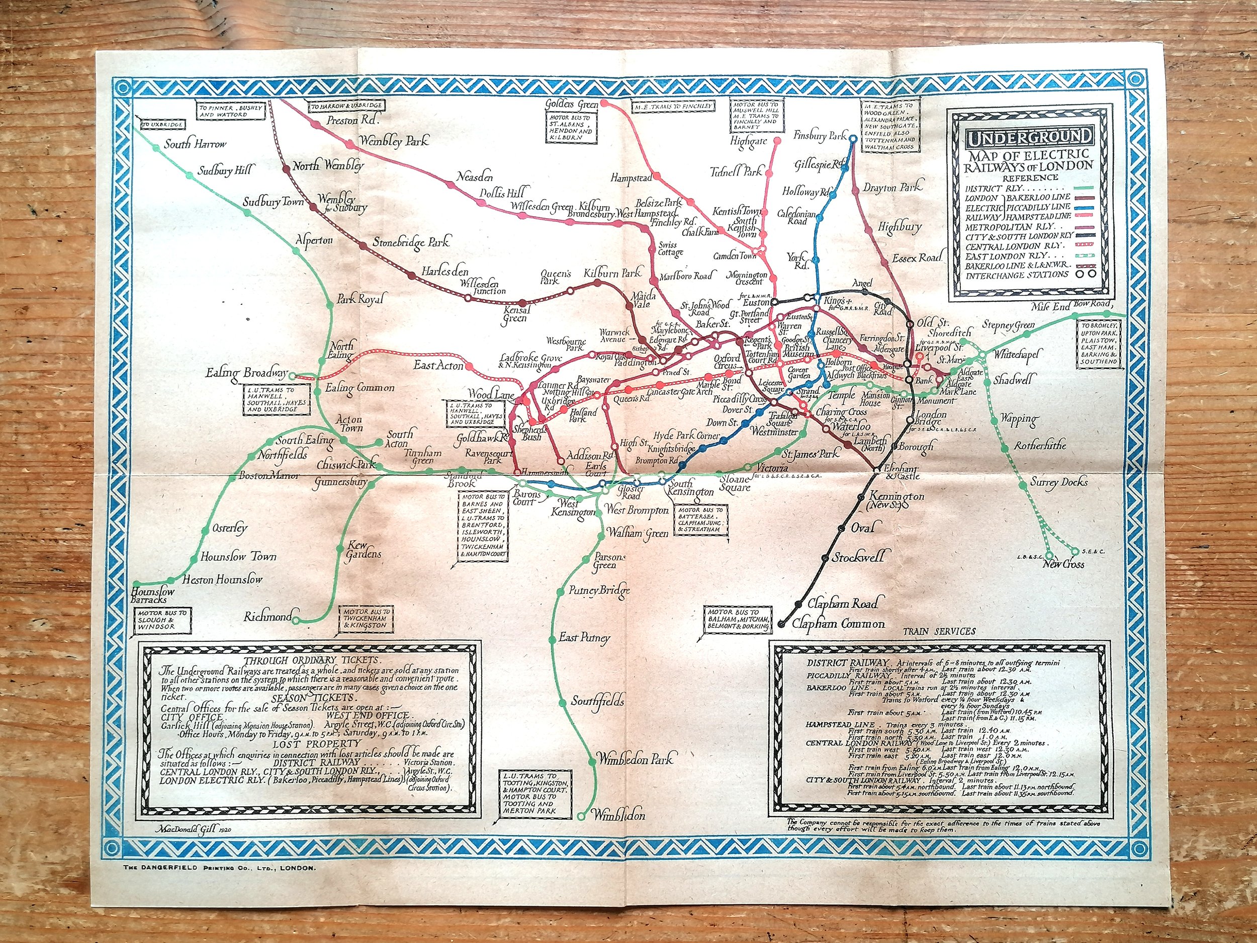
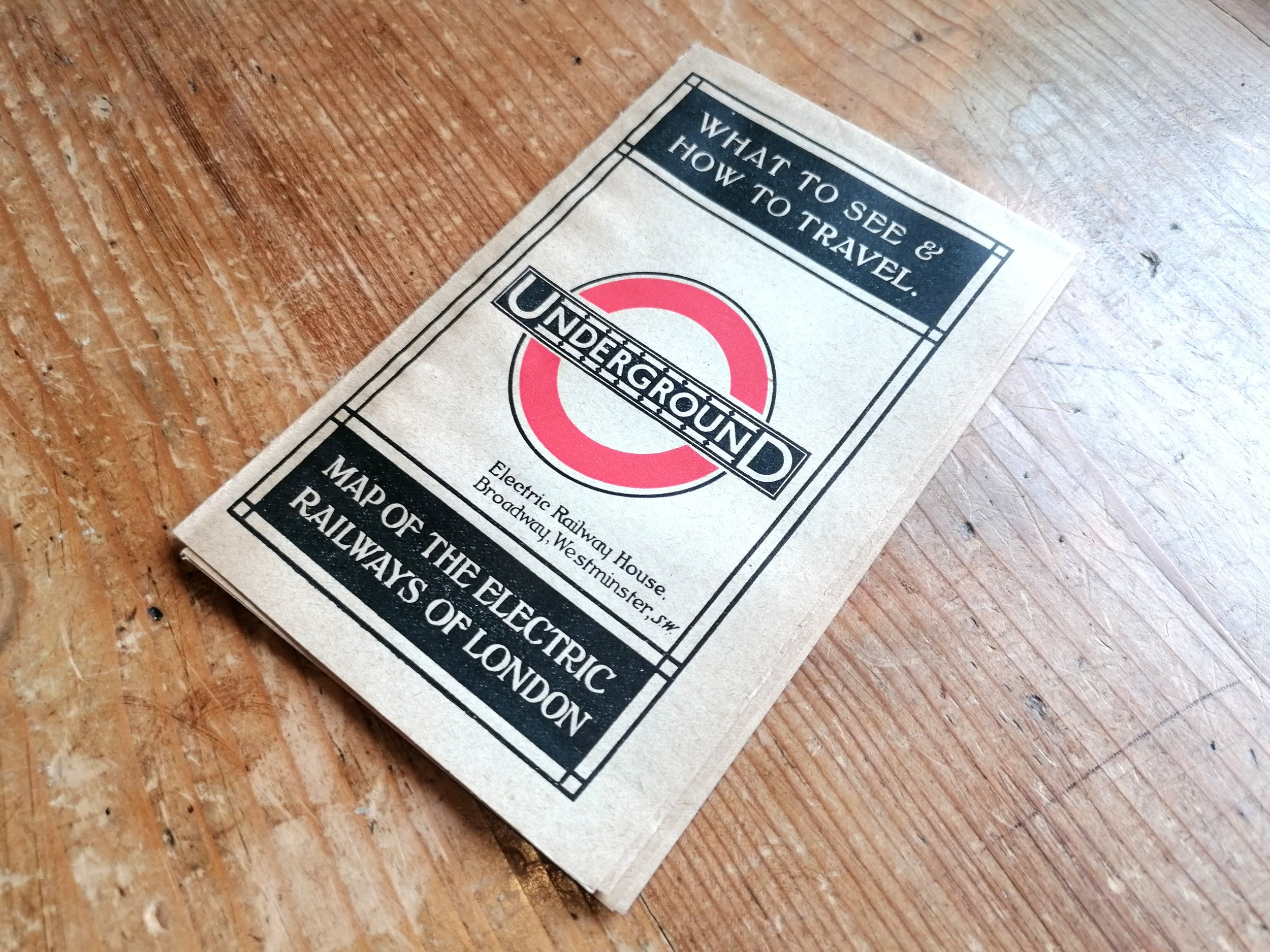
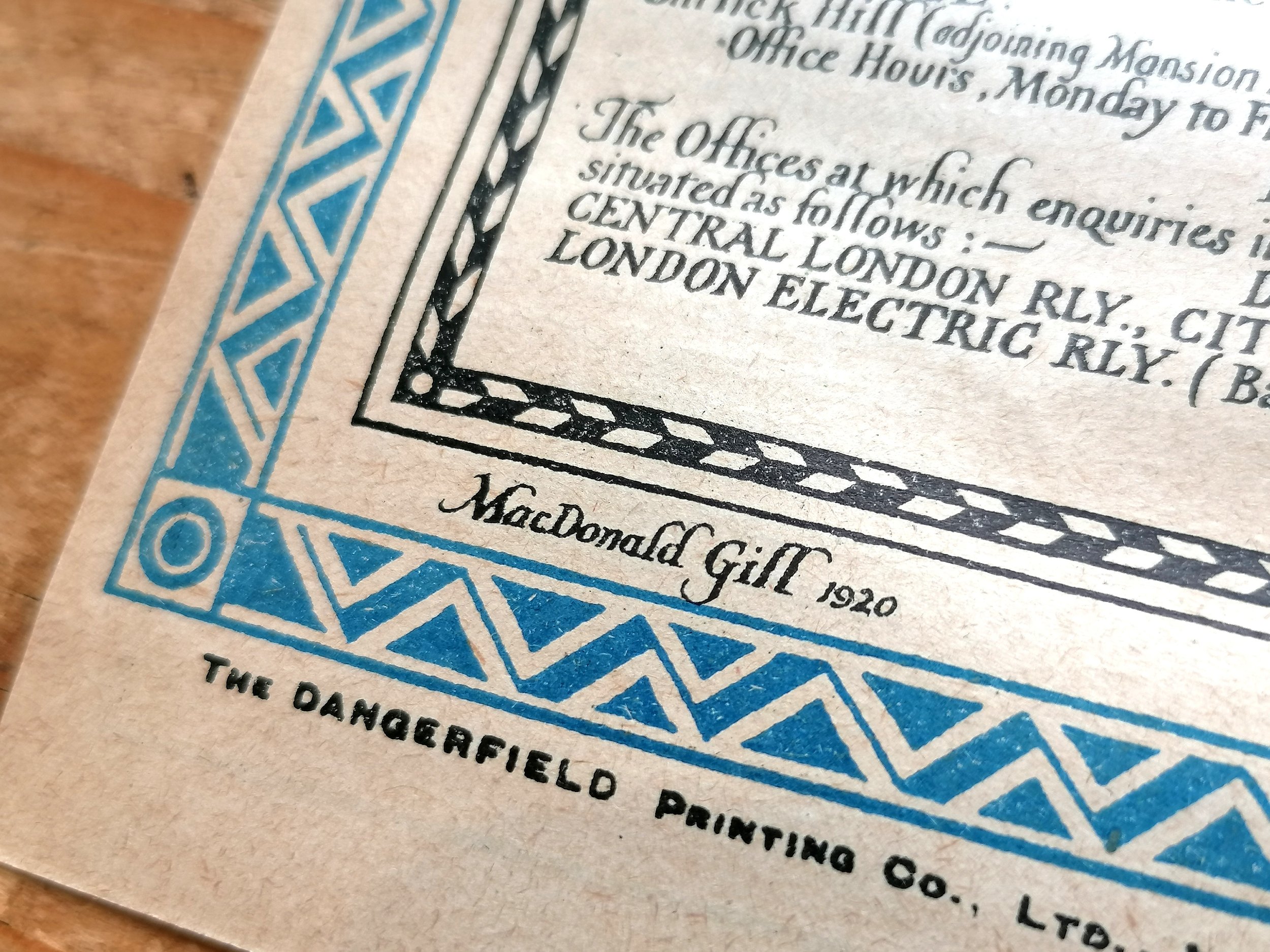
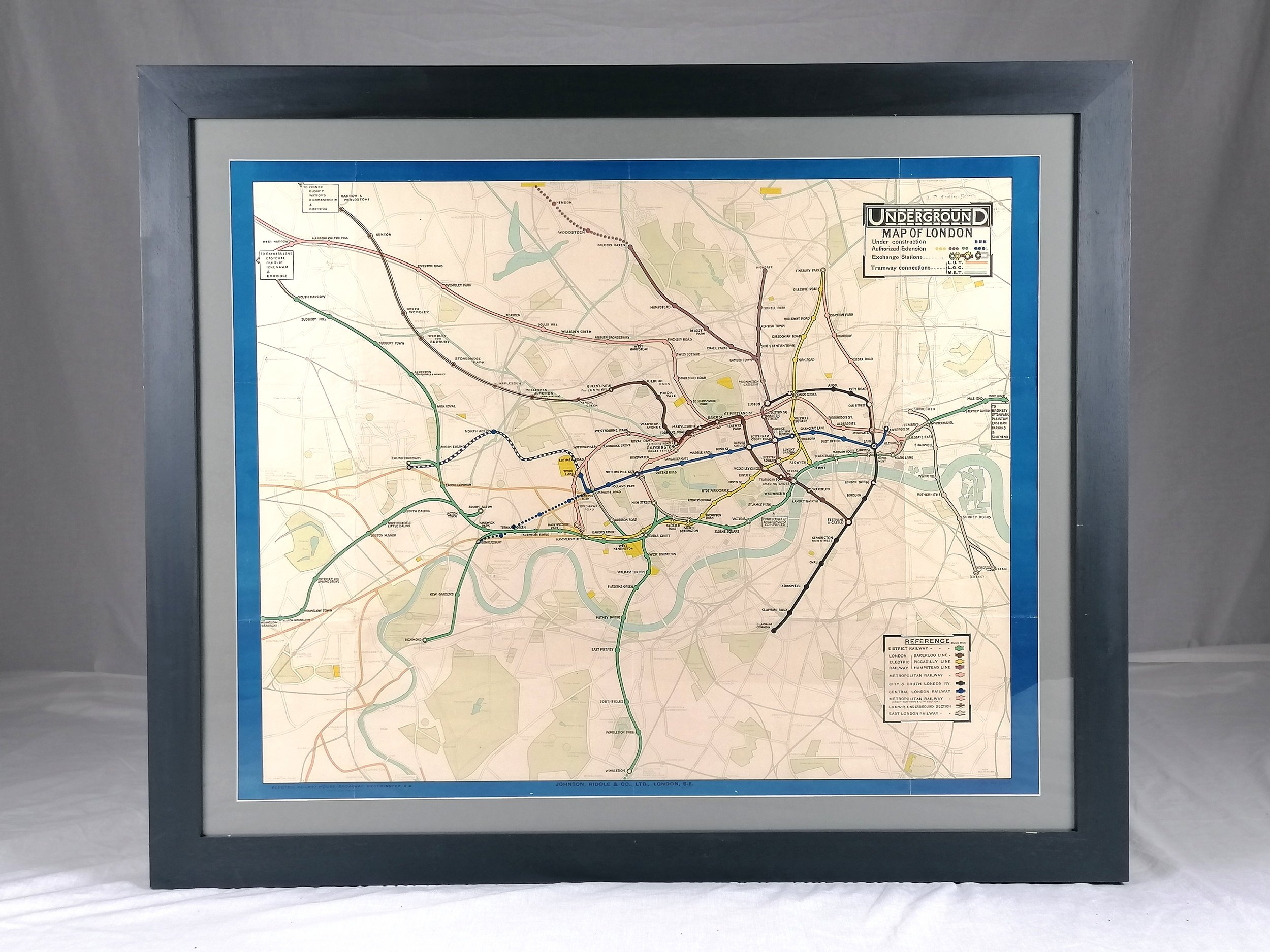
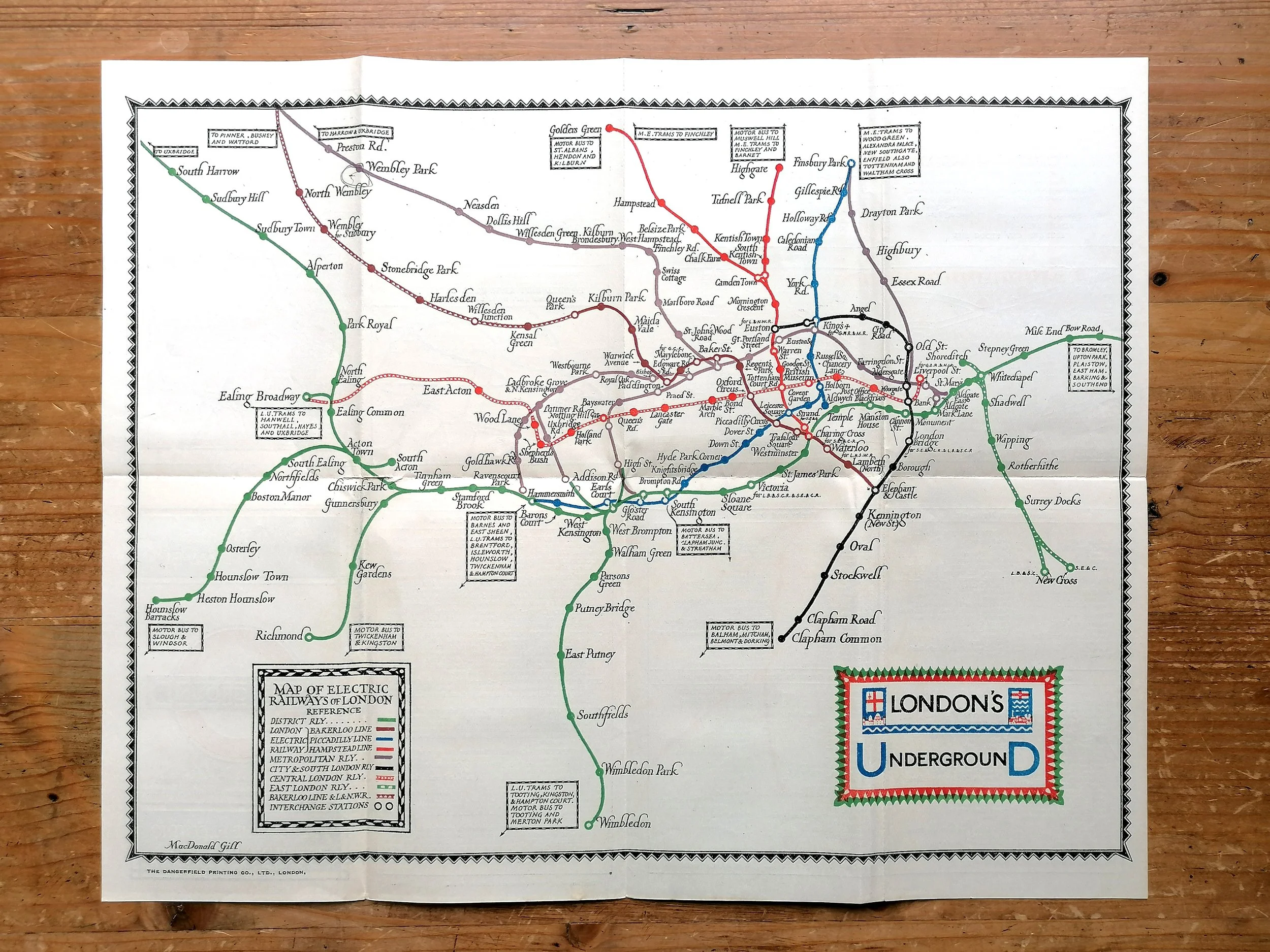
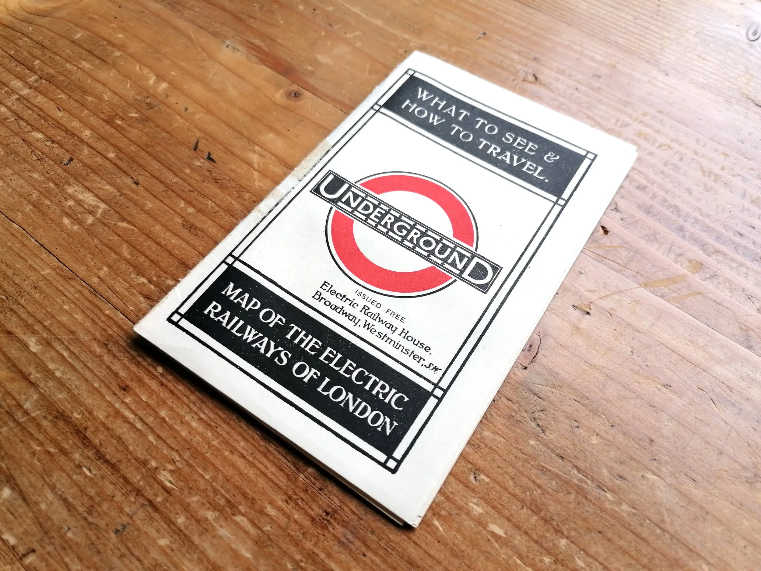
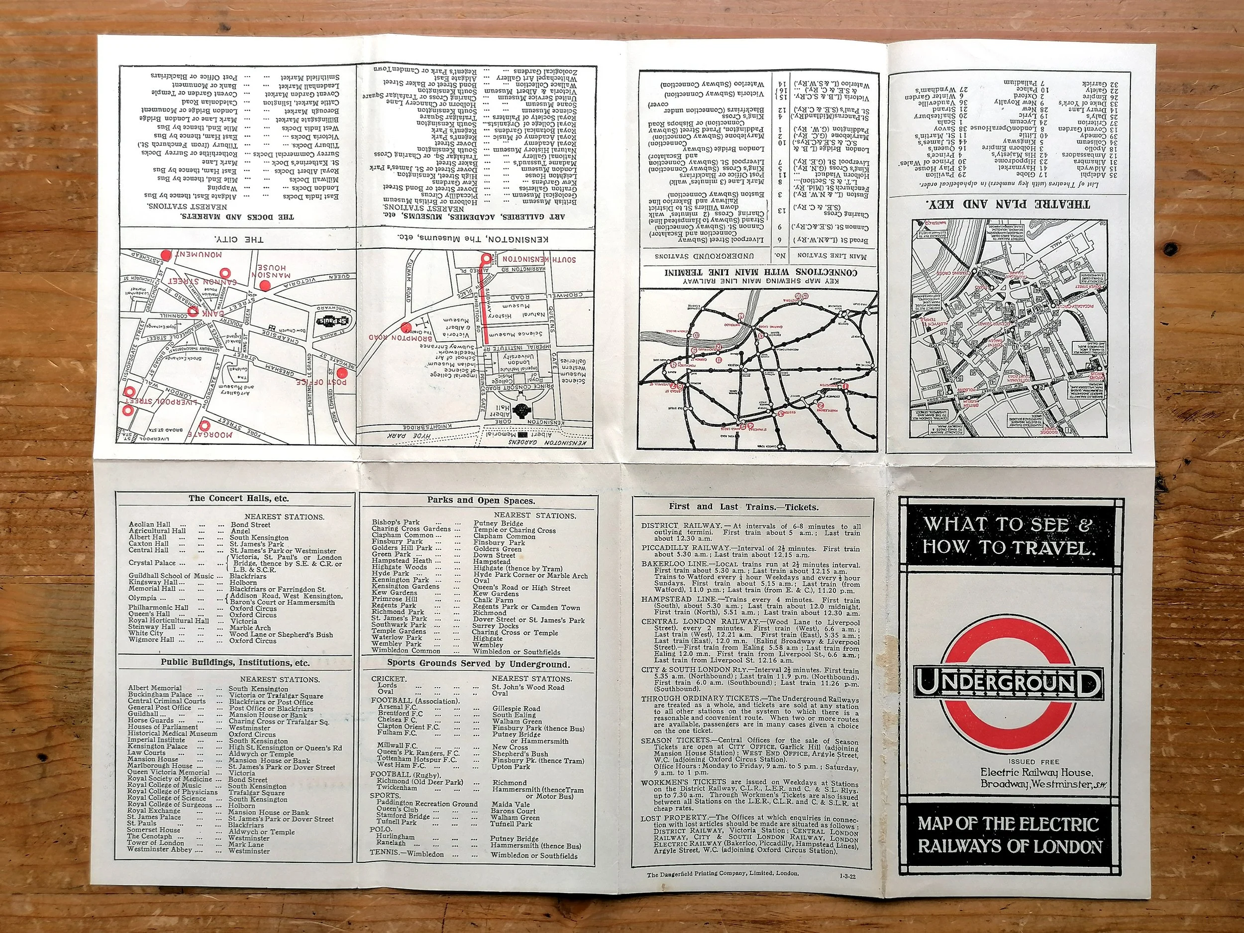
1924 British Empire Exhibition Map - By Kennedy North
1924 British Empire Exhibition - Wembley, London April-October.
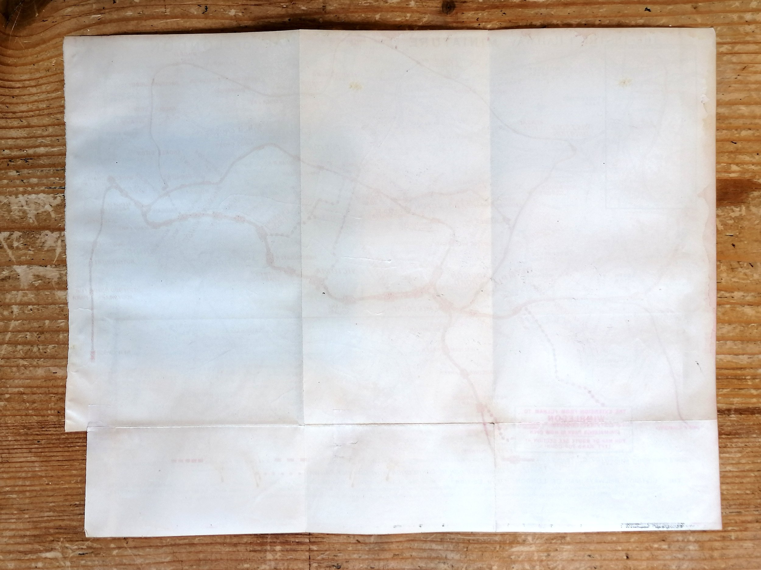
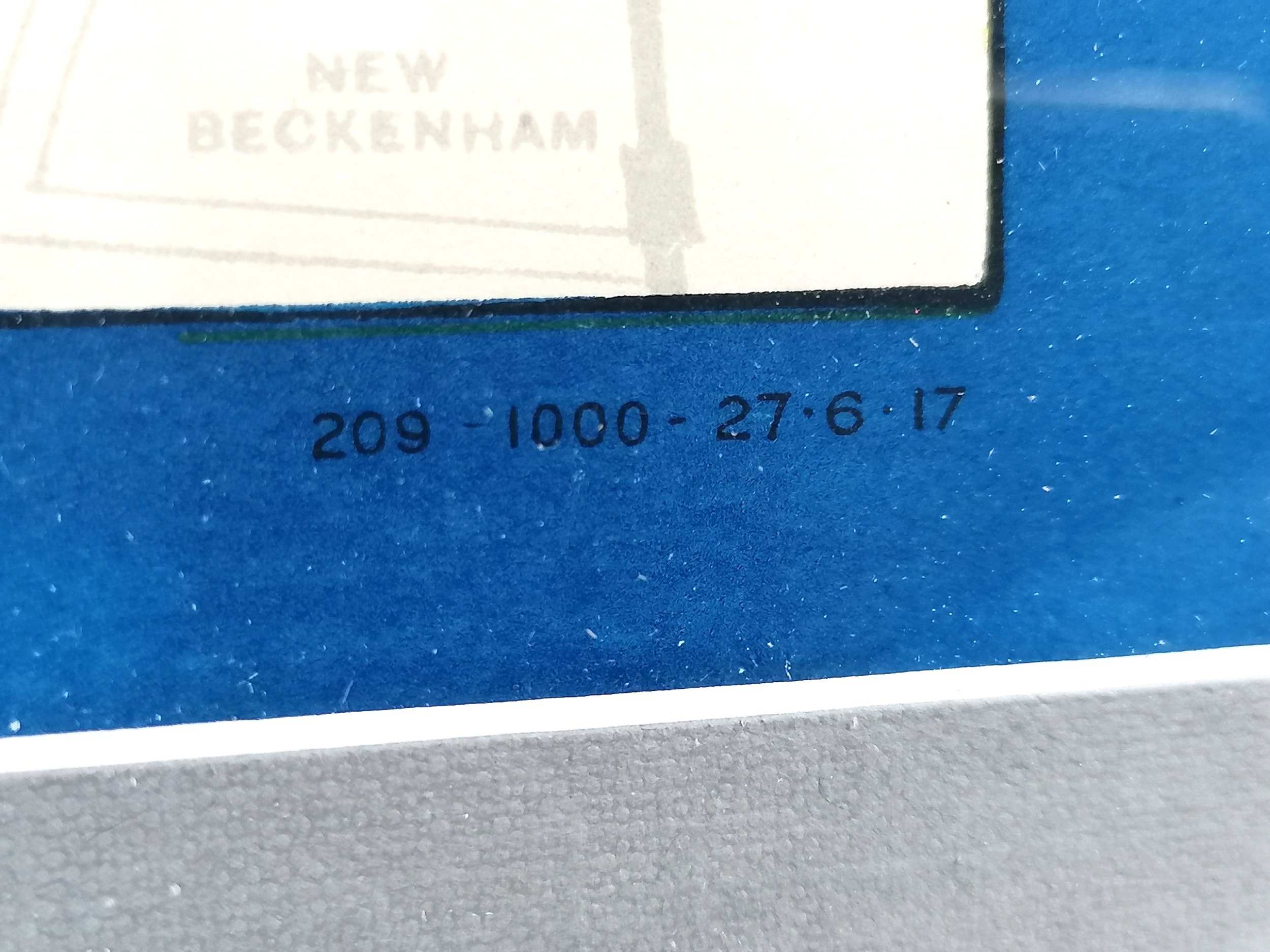
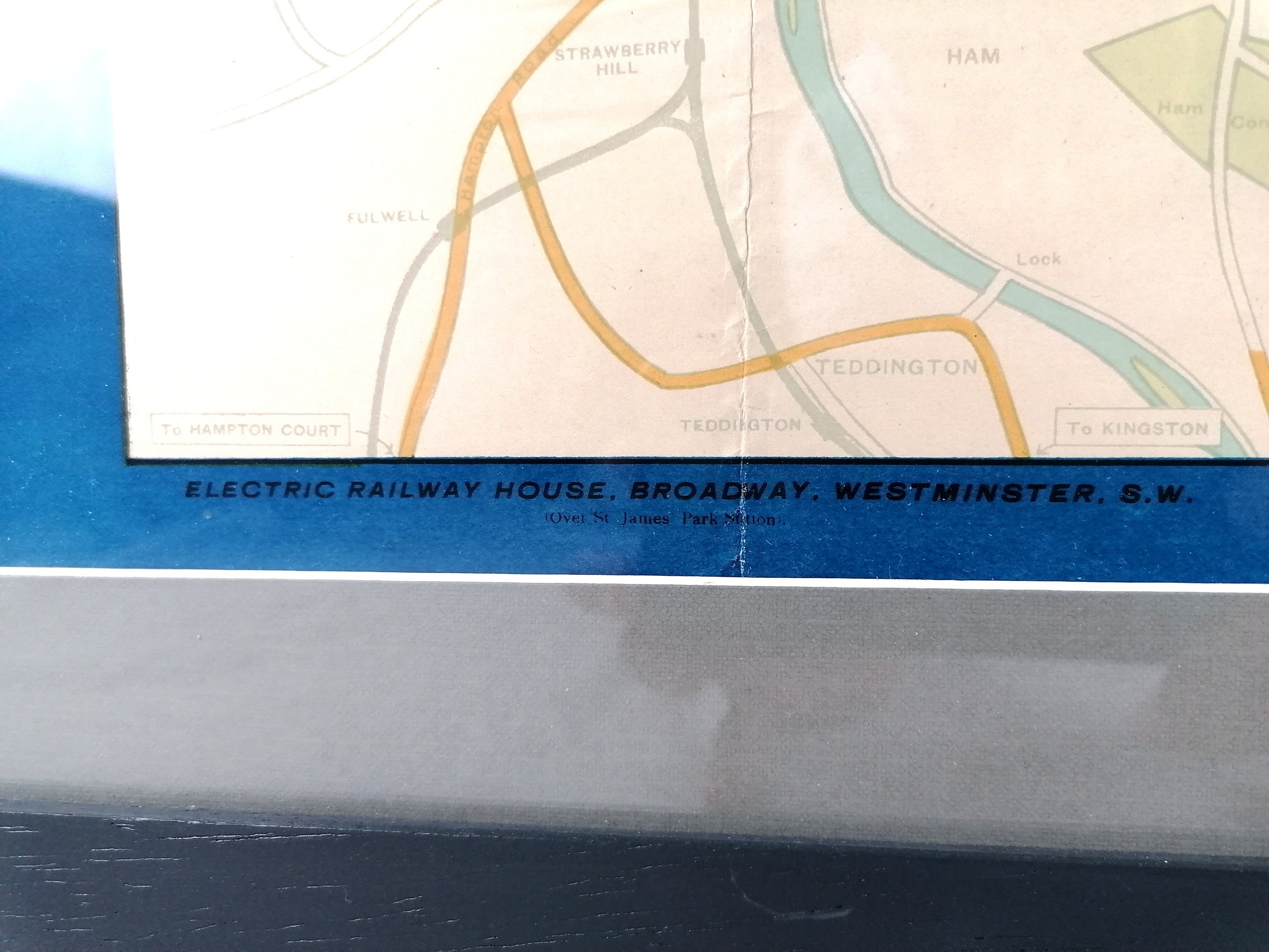
Designed by Kennedy North. Printed by Dobson, Molle & Co. Colour lithograph. Measures 51.5xcm (H) x 76cm (W). Condition: Excellent, bright and free from foxing. Some minor foxing in places. Some small tears at edges.
With over 27 million visitors, the British Empire Exhibition was the largest exhibition in the world in its day and it was indeed a mighty show of imperial strength. The whole site was purpose built including the Empire Stadium which became Wembley Stadium.
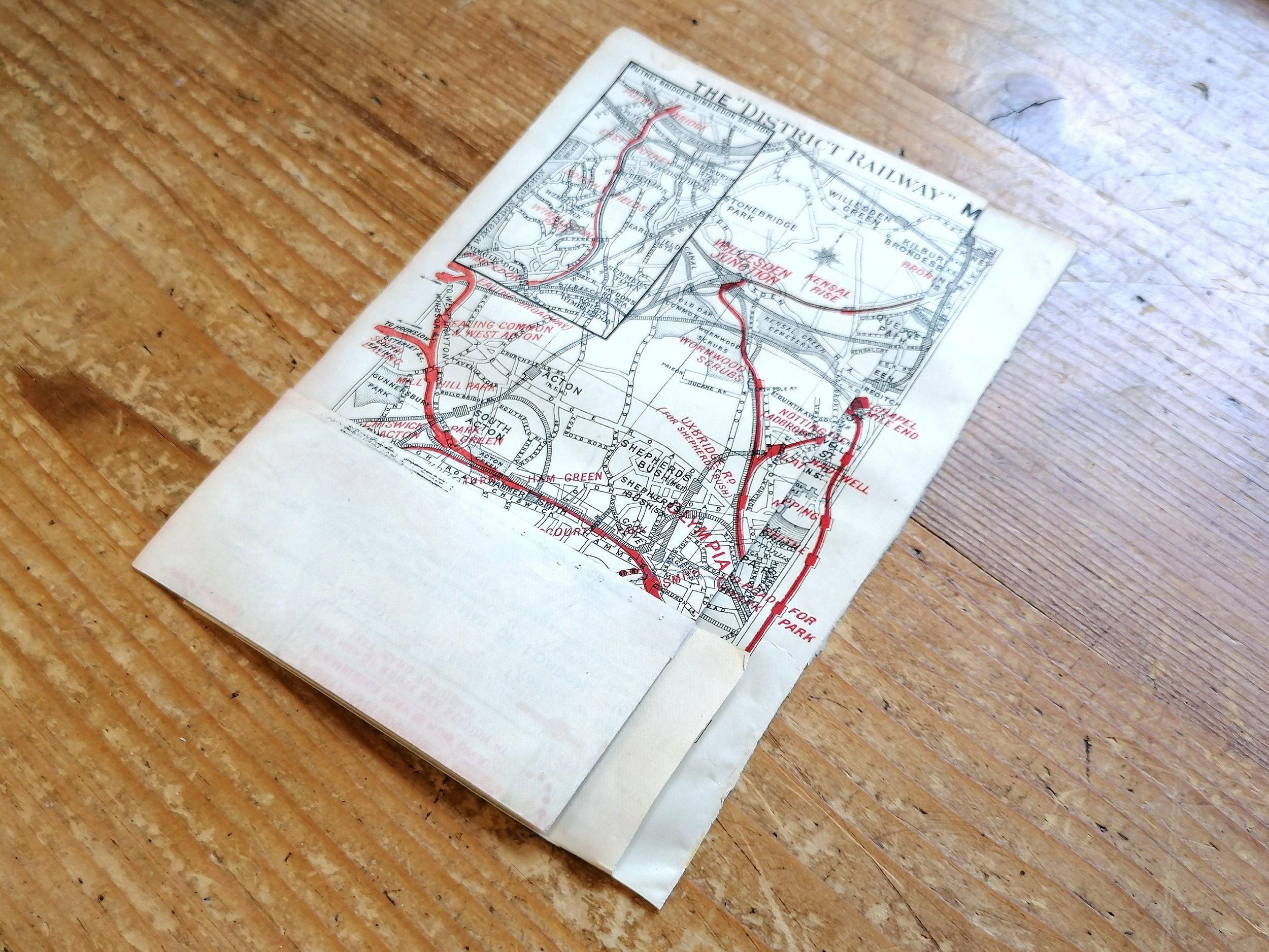
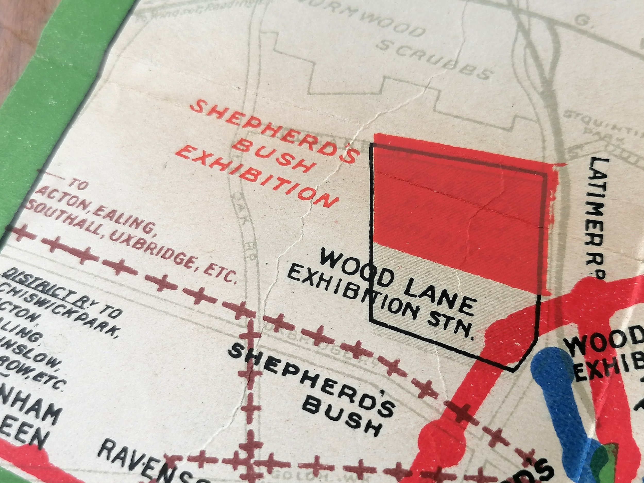
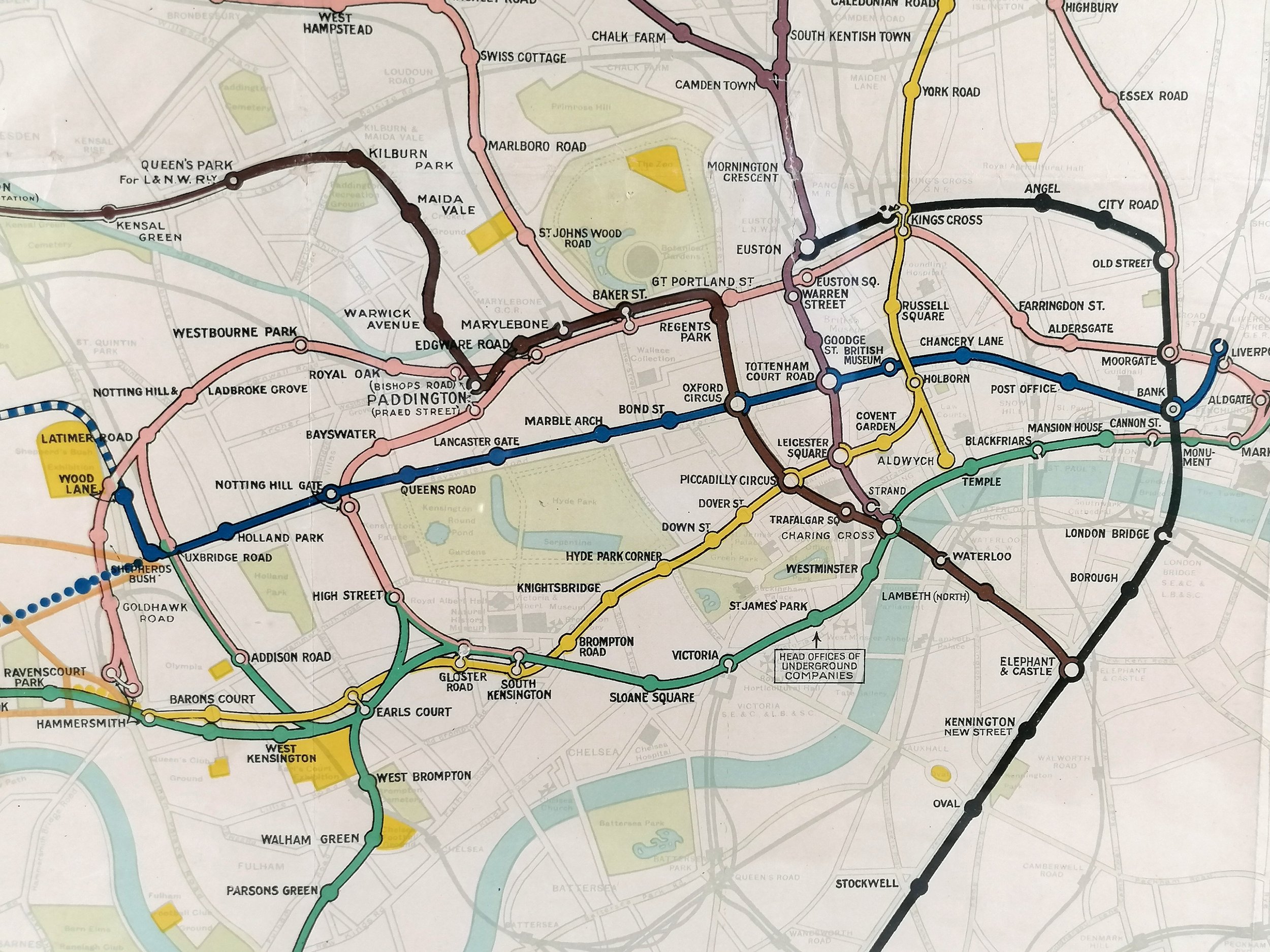
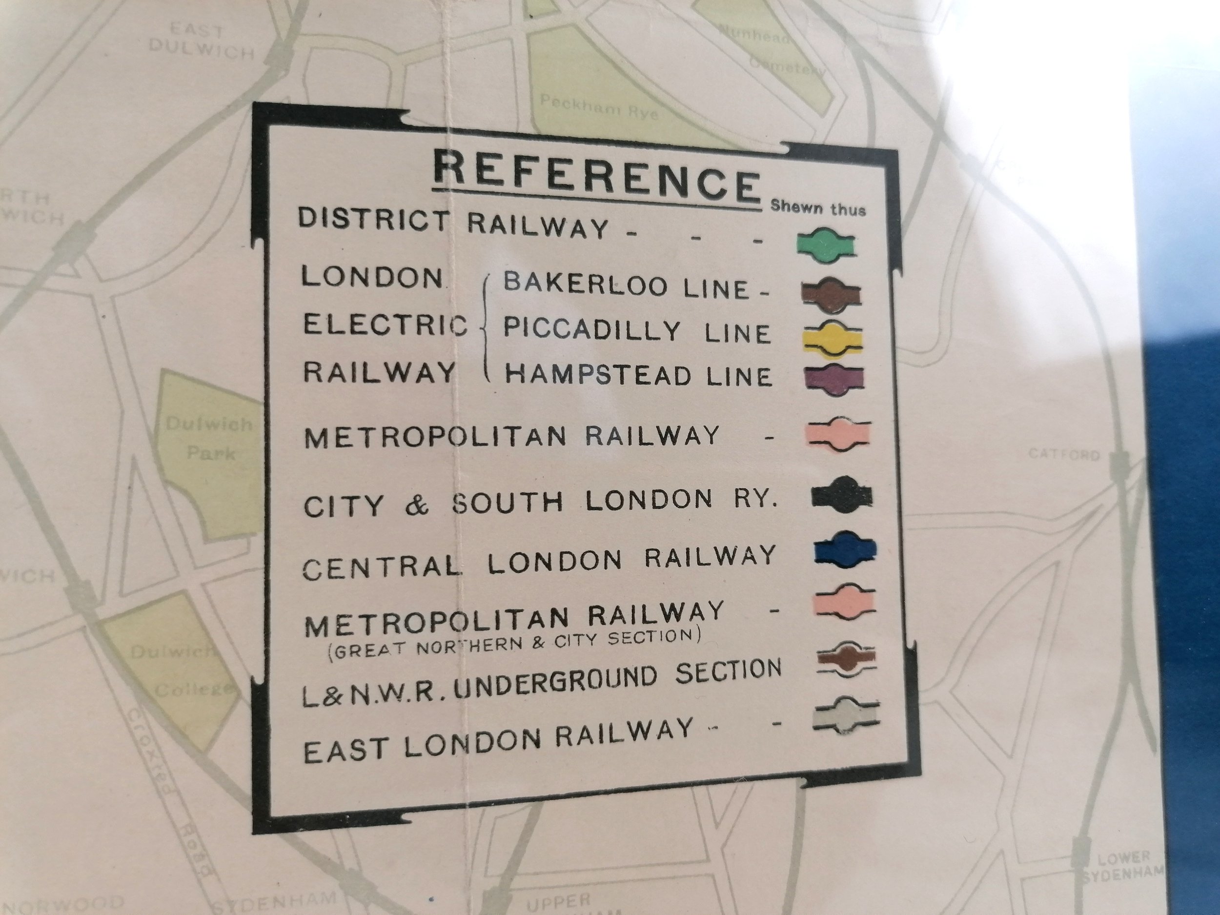
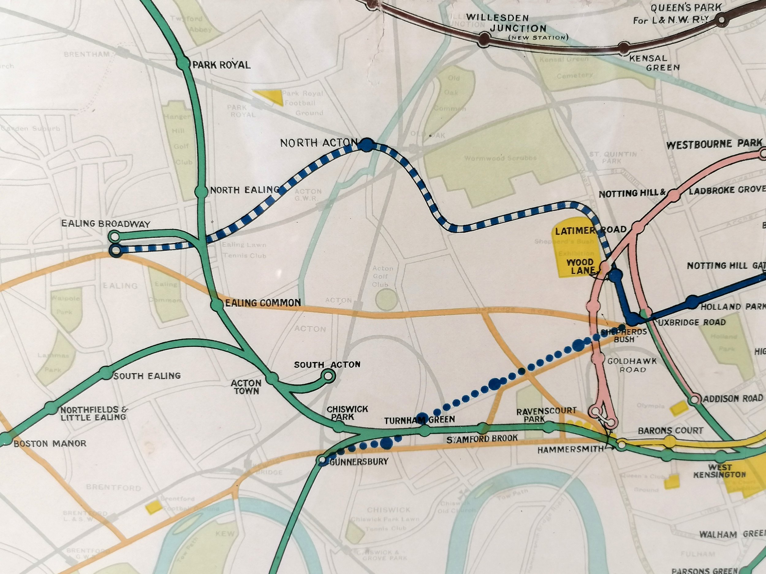
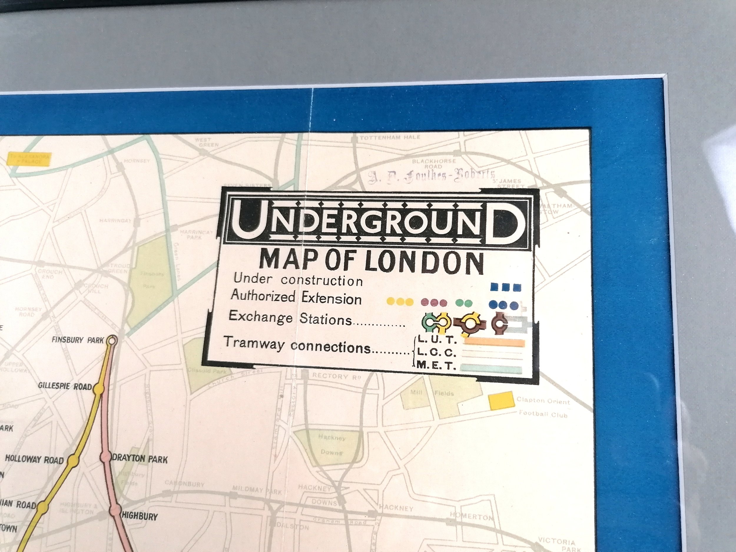
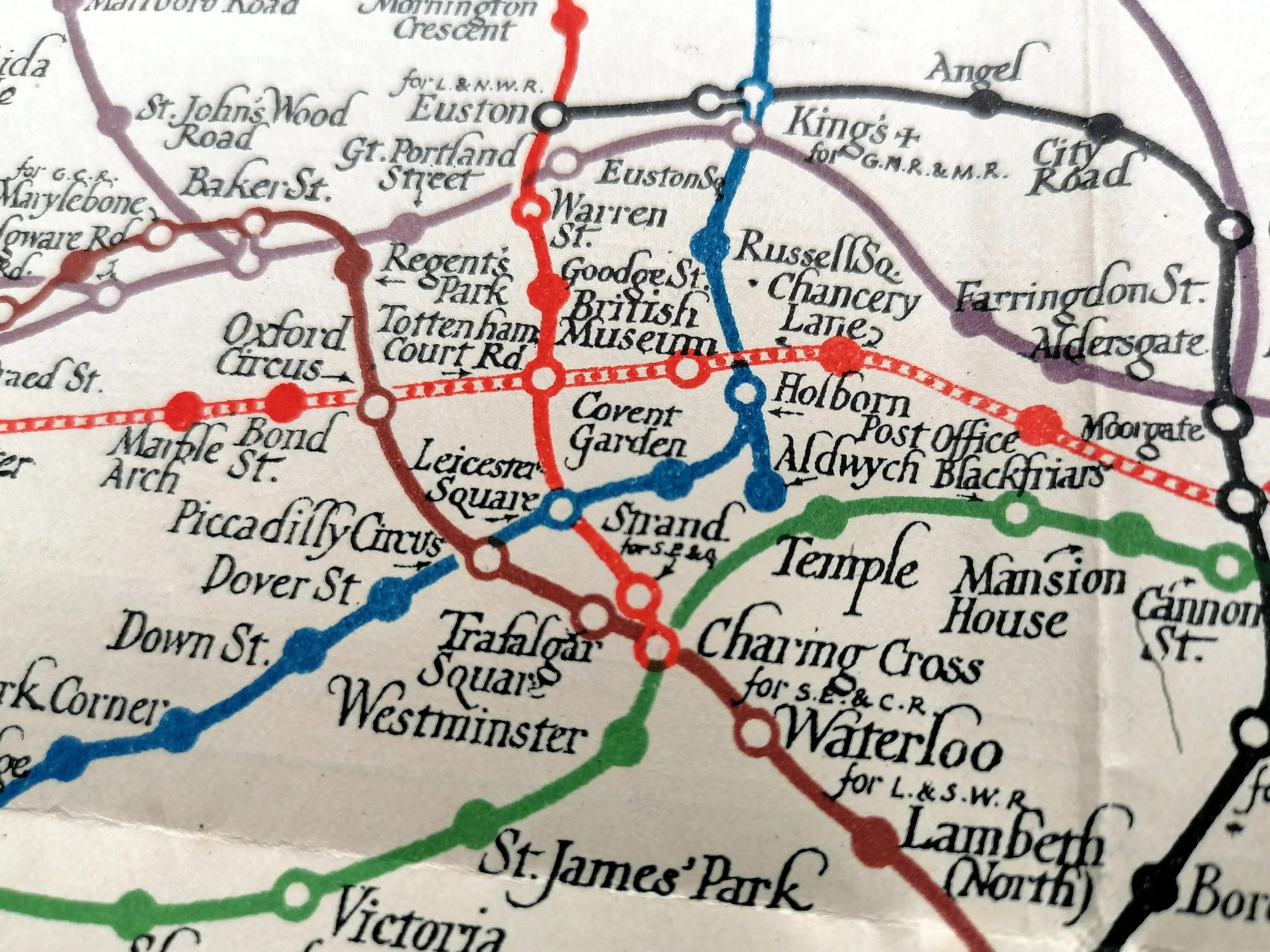
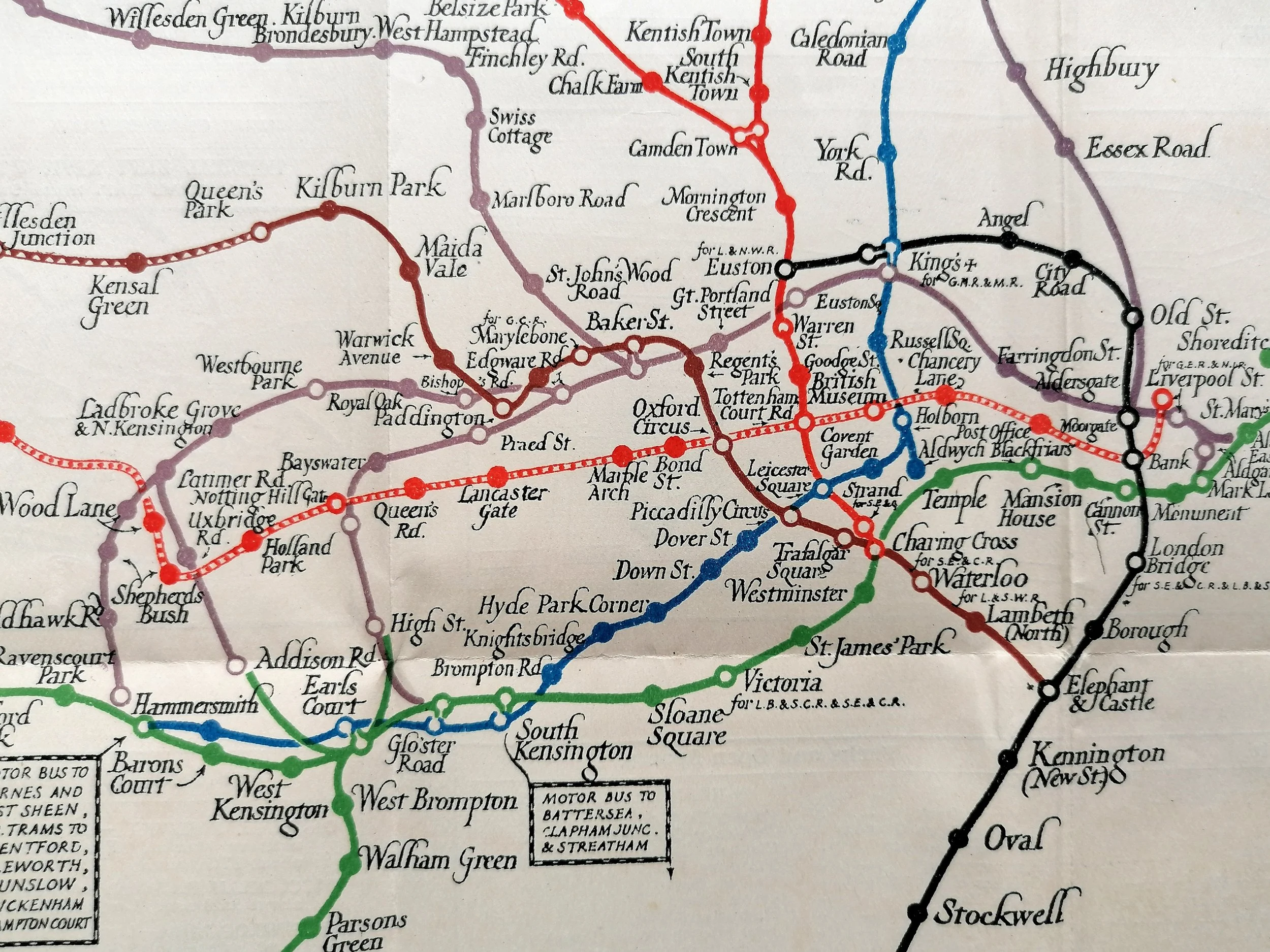
Tim Bryars describes this map beautifully: “The focus of the map is the layout of the exhibition itself, with its pavilions for the dominions and colonies, the vast palaces of industry and engineering, and the newly built Wembley stadium, all described on the verso. Via a specially constructed loop line which ran from Marylebone, this feeds into a cleverly designed schematic diagram of the Undergound network, centred on Trafalgar Square, ‘the heart of the Empire’.
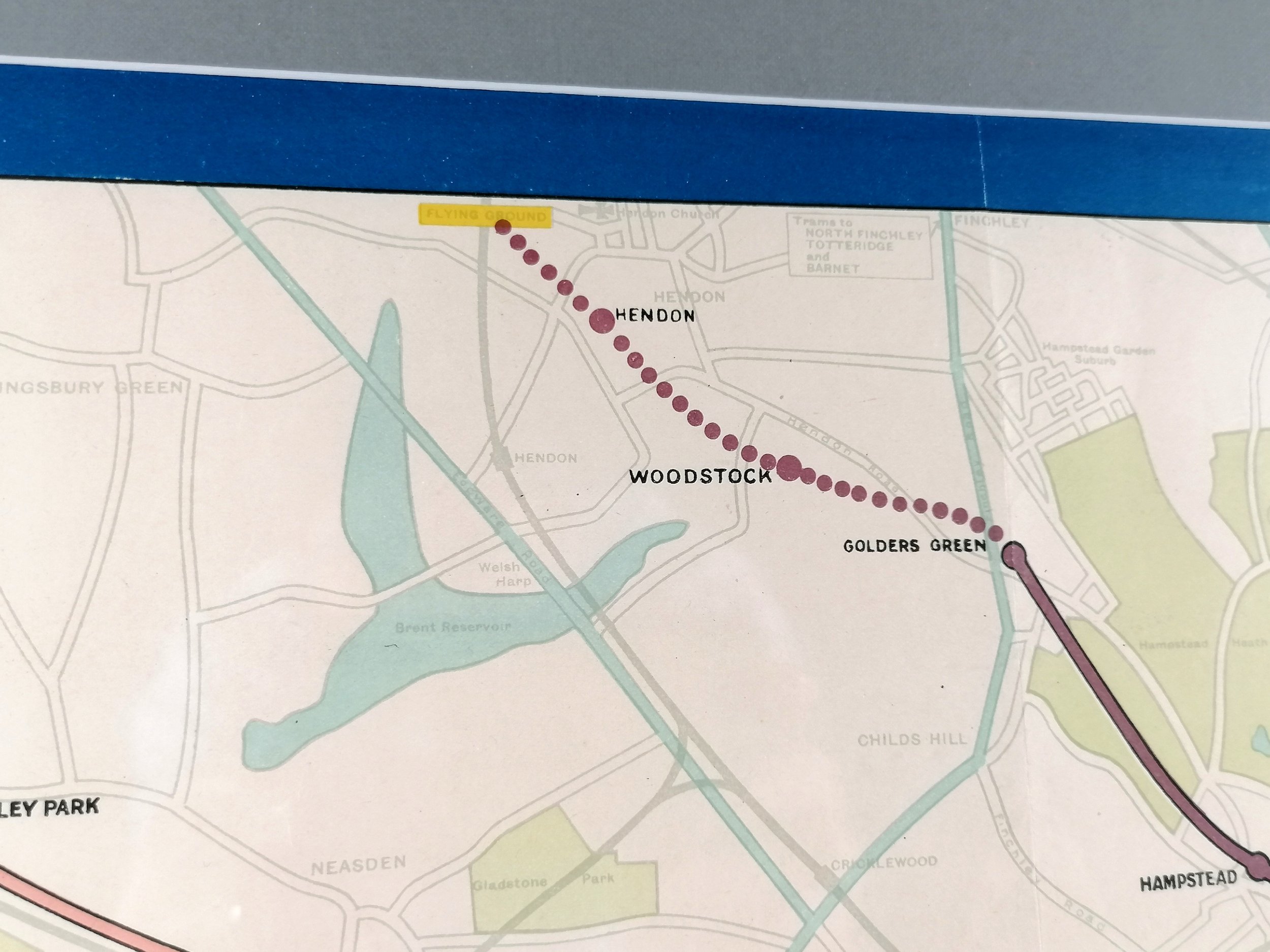
Kennedy North was an artist, illustrator, picture restorer, socialist, folk dancer and general bohemian. By this time, Macdonald Gills whimsical and vibrant pictorial maps had excited the British public for over a decade and it is clear North drew inspiration from Gills maps. - particuiarly his schematic interpretation the Underground system which bares an uncanny resemblance to Gills 1920-1924 Underground Map with its calligraphic station names and smoothed lines.
1924 British Empire Exhibition - Wembley, London April-October.
Designed by Kennedy North. Printed by Dobson, Molle & Co. Colour lithograph. Measures 51.5xcm (H) x 76cm (W). Condition: Excellent, bright and free from foxing. Some minor foxing in places. Some small tears at edges.
With over 27 million visitors, the British Empire Exhibition was the largest exhibition in the world in its day and it was indeed a mighty show of imperial strength. The whole site was purpose built including the Empire Stadium which became Wembley Stadium.
Tim Bryars describes this map beautifully: “The focus of the map is the layout of the exhibition itself, with its pavilions for the dominions and colonies, the vast palaces of industry and engineering, and the newly built Wembley stadium, all described on the verso. Via a specially constructed loop line which ran from Marylebone, this feeds into a cleverly designed schematic diagram of the Undergound network, centred on Trafalgar Square, ‘the heart of the Empire’.
Kennedy North was an artist, illustrator, picture restorer, socialist, folk dancer and general bohemian. By this time, Macdonald Gills whimsical and vibrant pictorial maps had excited the British public for over a decade and it is clear North drew inspiration from Gills maps. - particuiarly his schematic interpretation the Underground system which bares an uncanny resemblance to Gills 1920-1924 Underground Map with its calligraphic station names and smoothed lines.