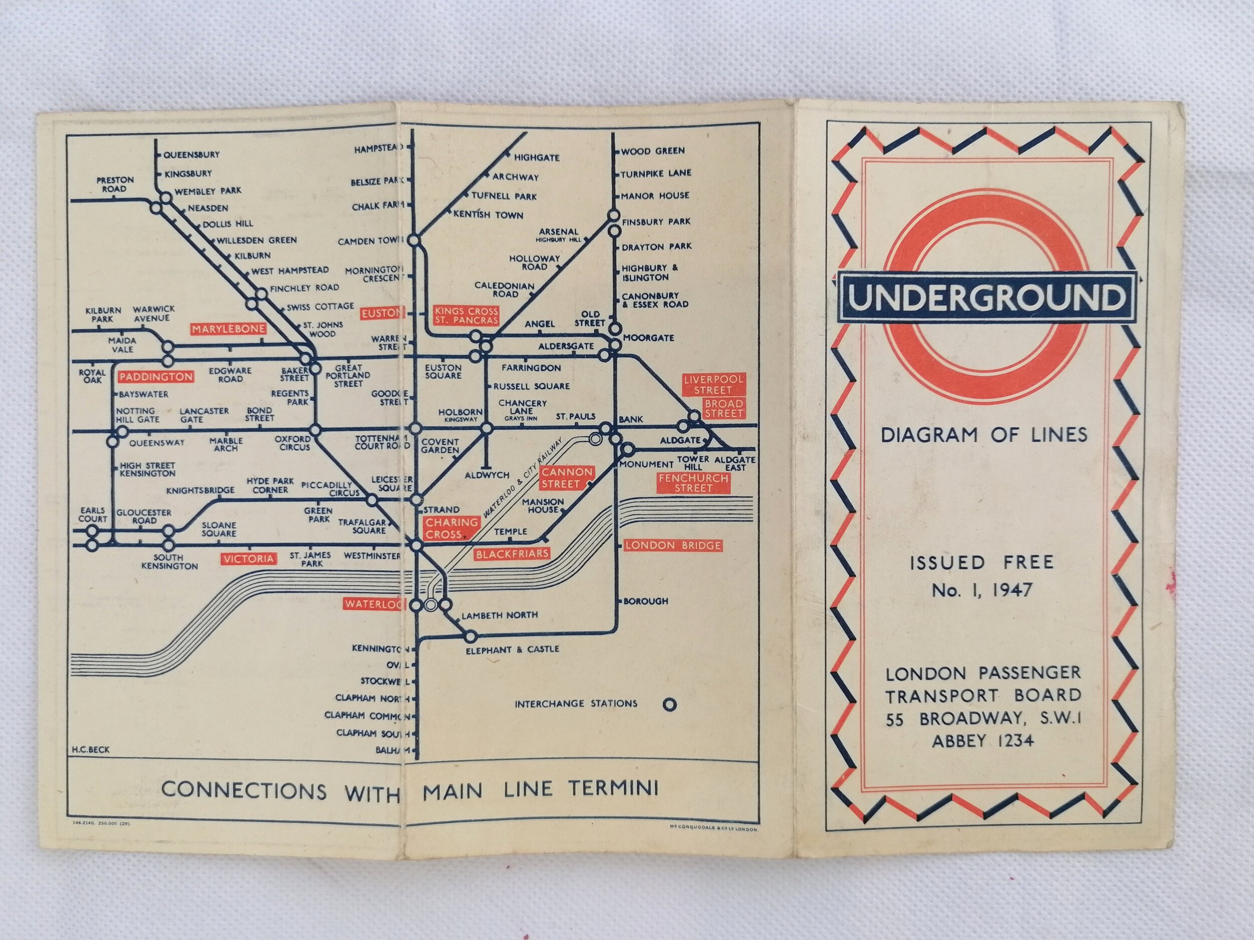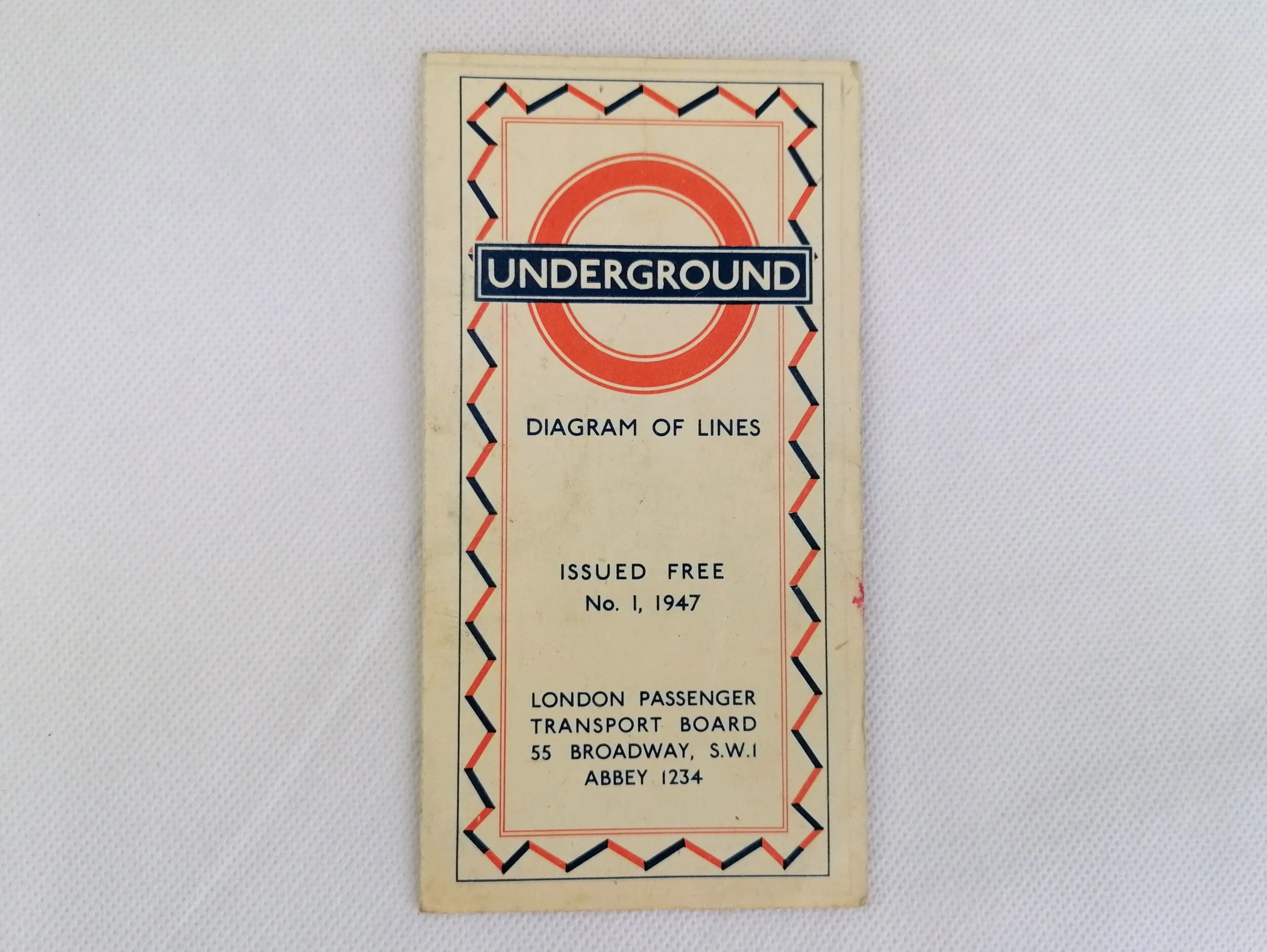


1933 London Underground Station Map - HC Beck First Edition
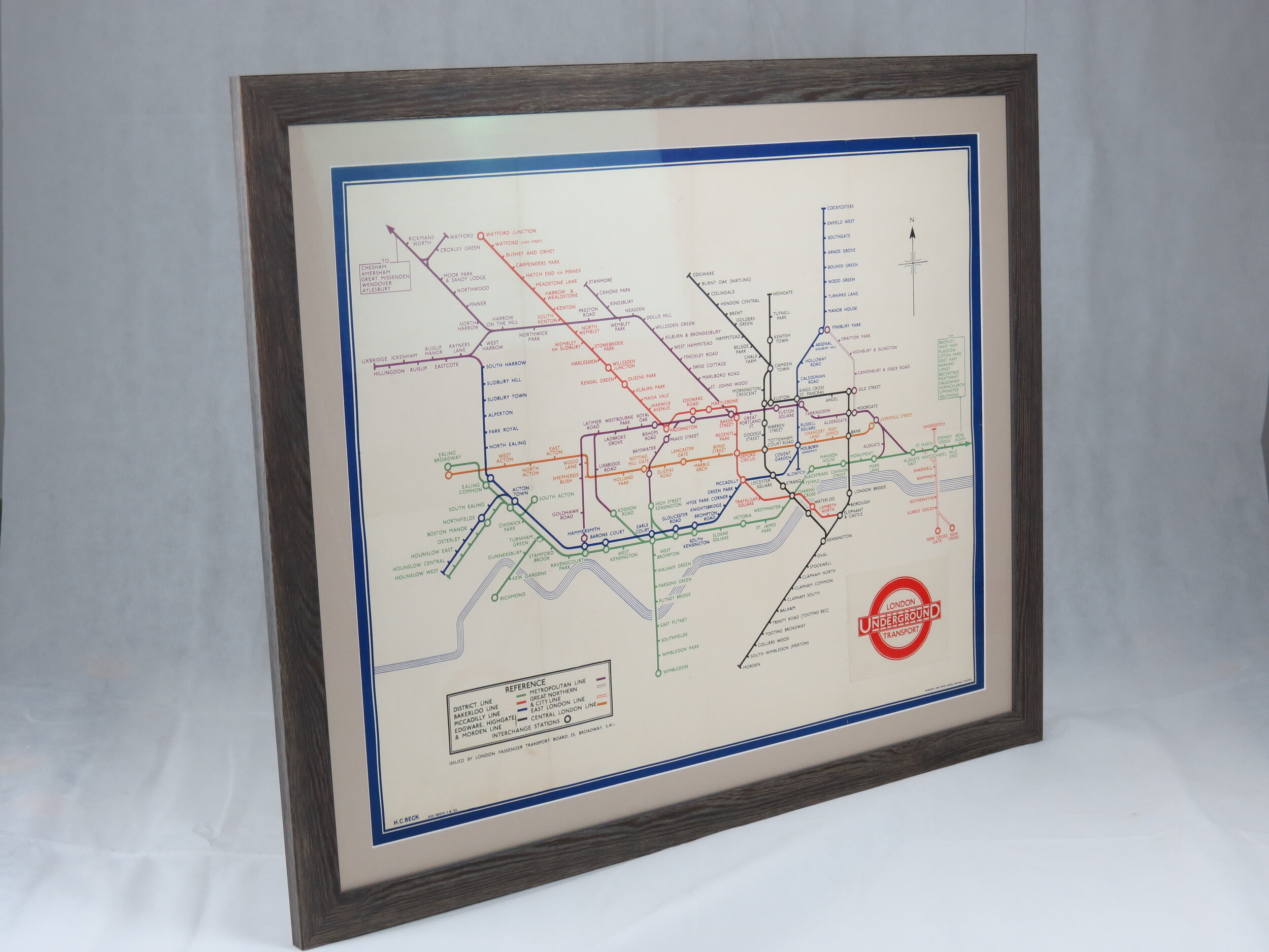
London Underground Map - Station Poster. August 1933.
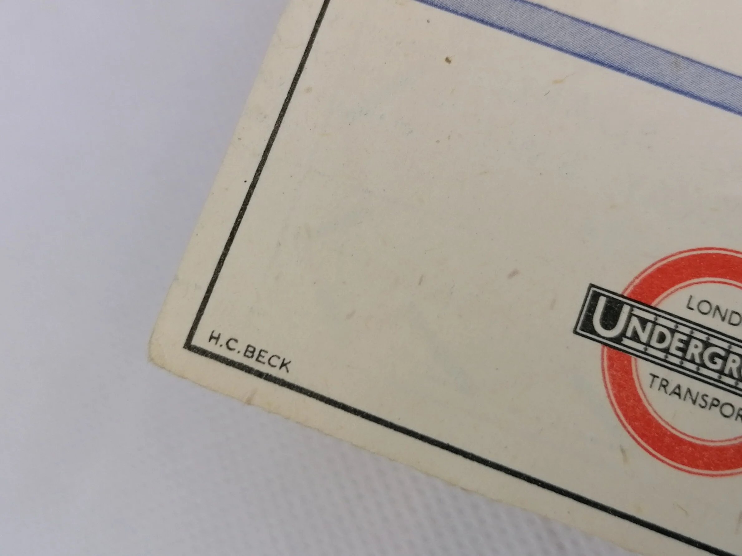
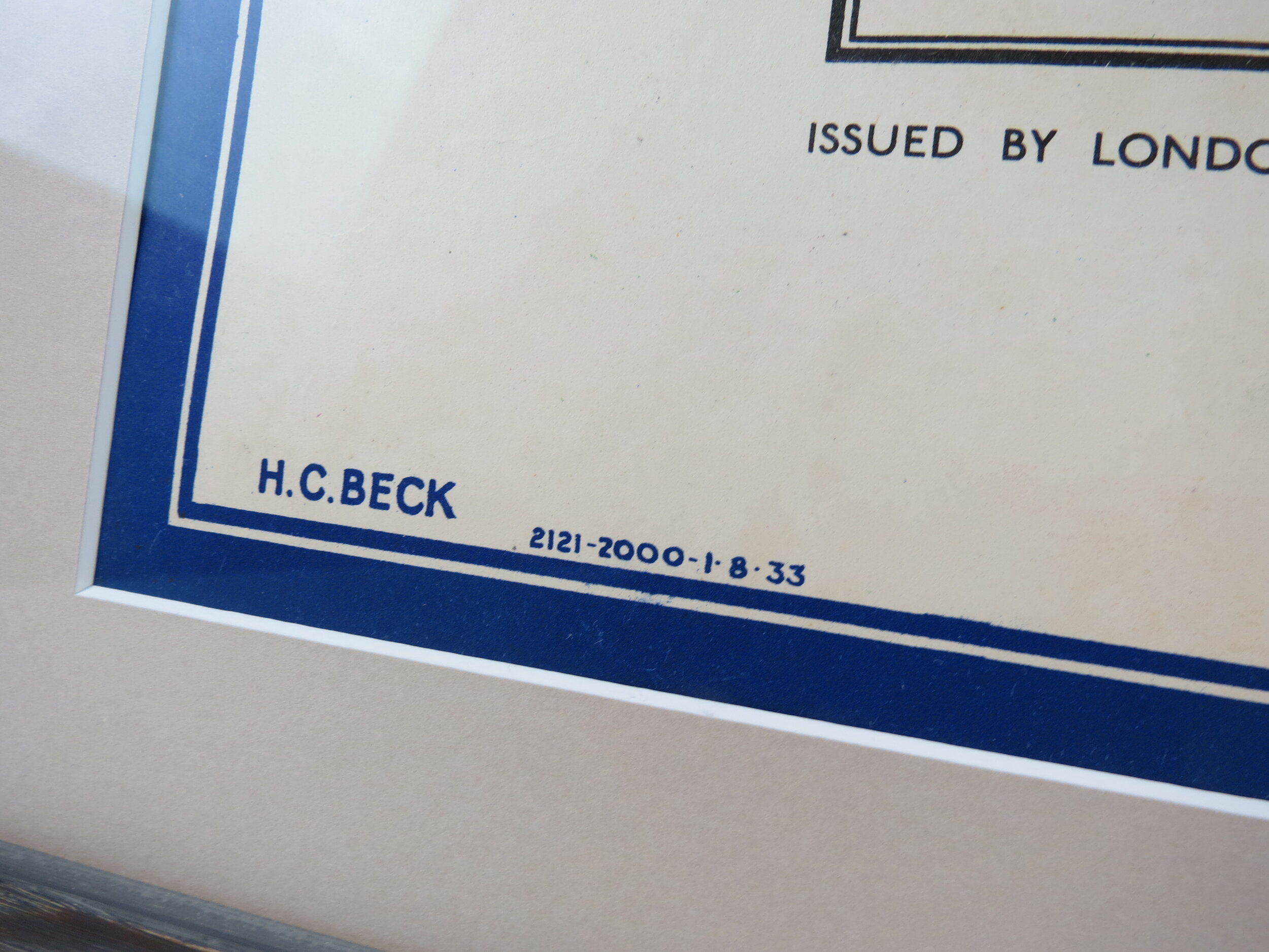
Designed by HC Beck. Printed by Waterlow & Sons for London Passenger Transport Board (LPTB). Print Code: 2121-2000-1.8.33. Map size 76cm x 61cm (30 x 24 inches). Condition: Excellent. The original folds are visible (as issued). Backed to linen and professionally framed with UV filtering ArtGlass.
HC Beck's iconic London Underground 'diagram' was first issued in pocket map format in January 1933 to an extremely positive public response - to the relief of London Transport Executive who had initially rejected Becks diagram for being too revolutionary.
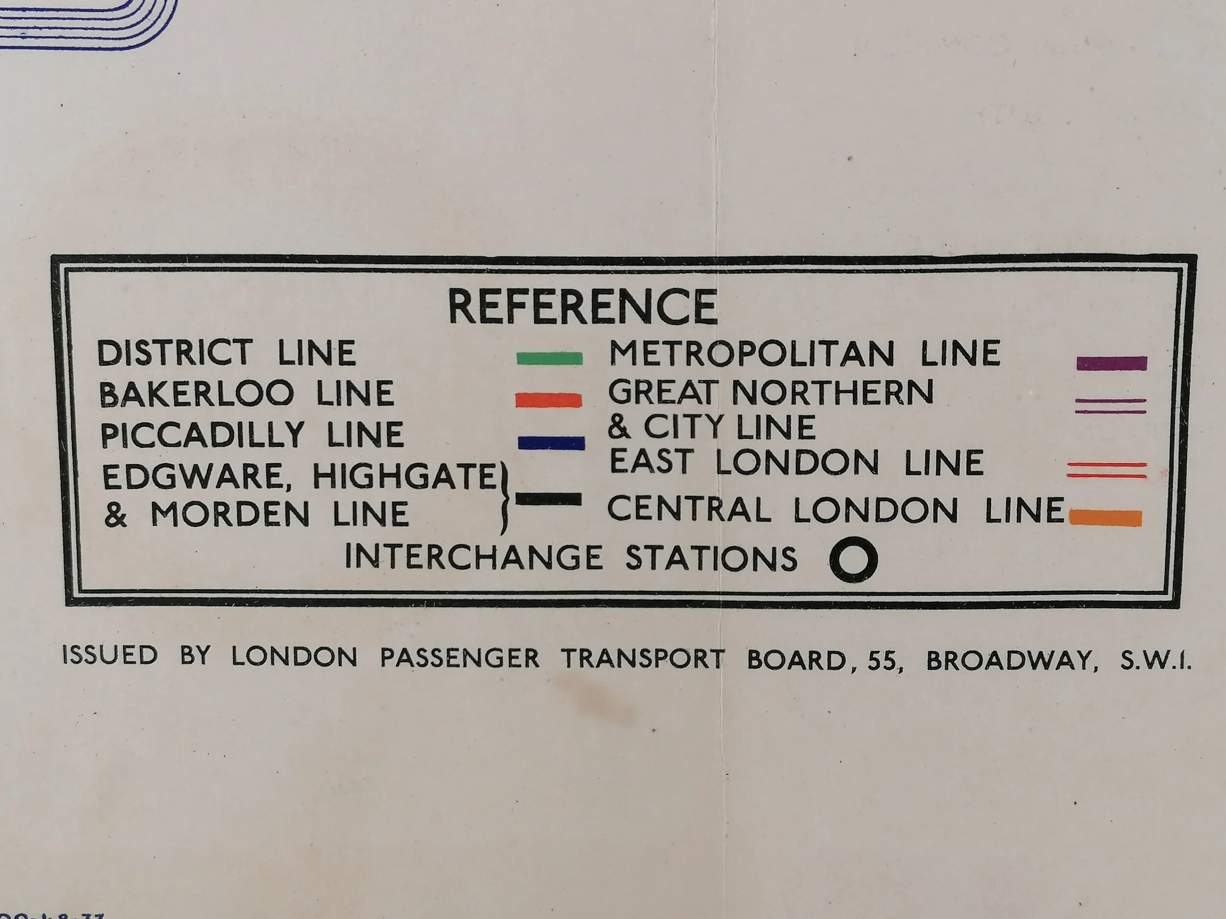
Beck was immediately commissioned to redraw the diagram in poster format, first in Quad Royal size (127cm x 101cm) published in July 1933 and then this format (76cm x 61cm) published in August 1933. Though almost identical to the January 1933 design, this map benefits from a few small improvements Beck made over the first half of 1933; notably replacing the diamond interchange stations with circles and addressing the awkward Met Line right angle between Notting Hill Gate and Paddington. The north pointer was subject to much frustration for Beck, an inappropriate device for a diagrammatic map added by someone else on the staff.
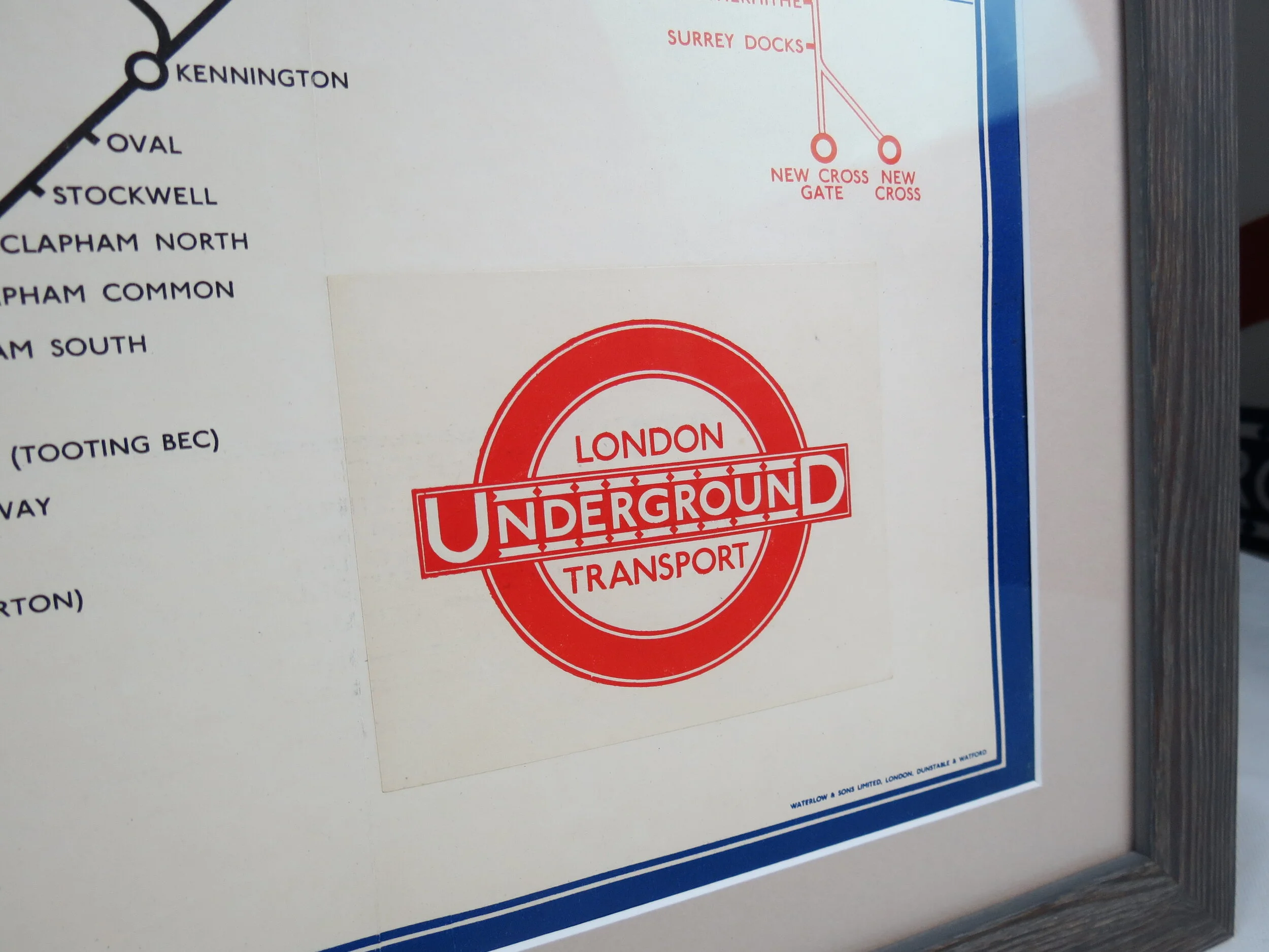
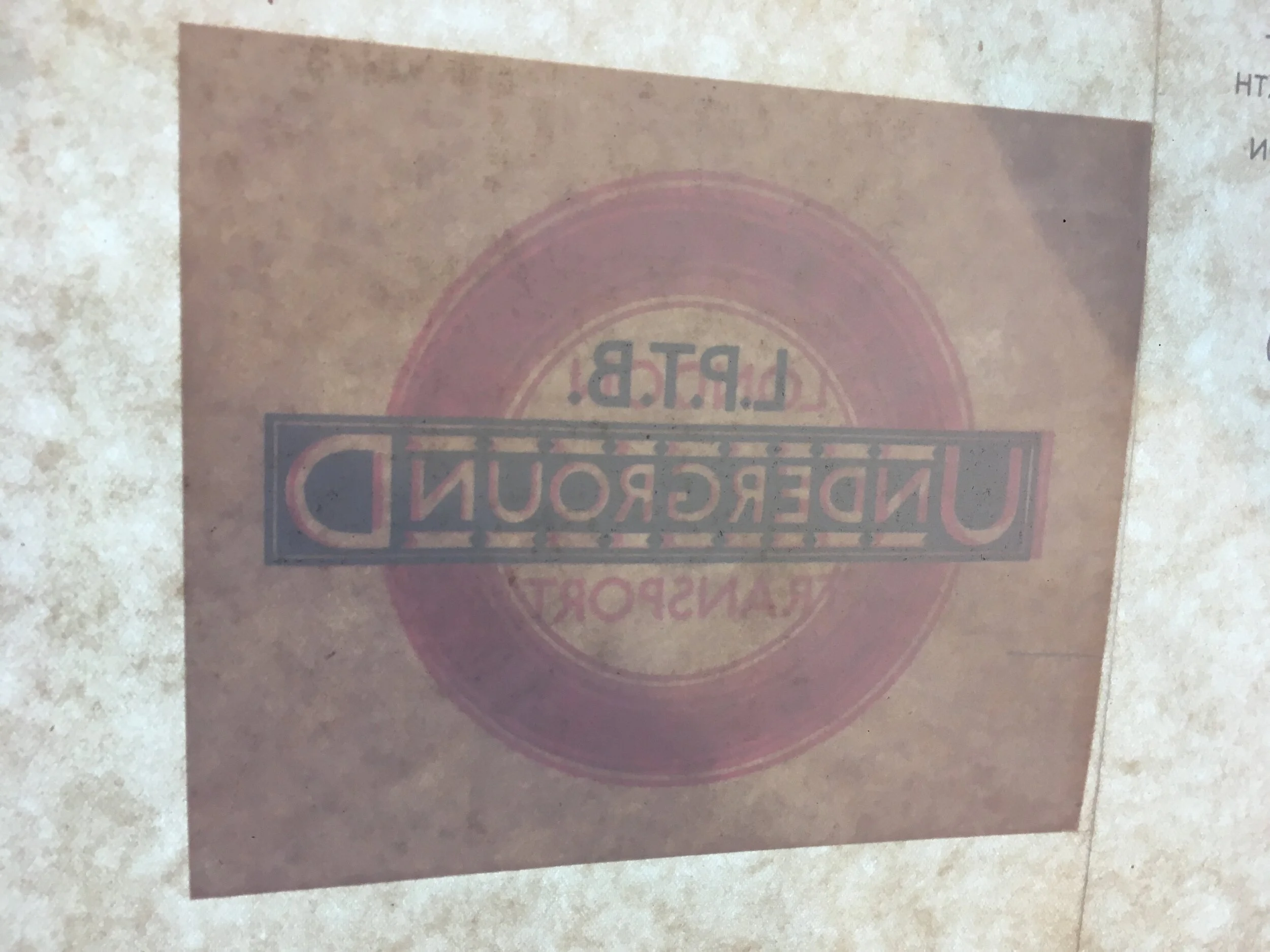
In July 1933, the London Underground railway companies were nationalised and put under the control of the London Passenger Transport Board (LTPB) which then changed to 'London Transport' while this poster was in print. Hence the single colour 'snipe' added to this edition to cover the original roundel containing 'LTPB'. I have included a photo taken from the back of the poster (before it was linen-backed) where the original roundel can be seen.
FREE UK DELIVERY. Non-UK Delivery available, please request a quotation
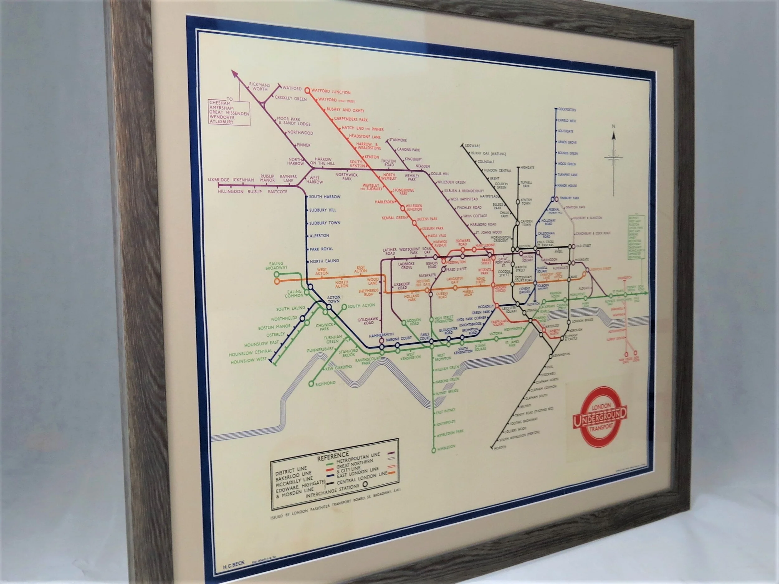
London Underground Map - Station Poster. August 1933.
Designed by HC Beck. Printed by Waterlow & Sons for London Passenger Transport Board (LPTB). Print Code: 2121-2000-1.8.33. Map size 76cm x 61cm (30 x 24 inches). Condition: Excellent. The original folds are visible (as issued). Backed to linen and professionally framed with UV filtering ArtGlass.
HC Beck's iconic London Underground 'diagram' was first issued in pocket map format in January 1933 to an extremely positive public response - to the relief of London Transport Executive who had initially rejected Becks diagram for being too revolutionary.
Beck was immediately commissioned to redraw the diagram in poster format, first in Quad Royal size (127cm x 101cm) published in July 1933 and then this format (76cm x 61cm) published in August 1933. Though almost identical to the January 1933 design, this map benefits from a few small improvements Beck made over the first half of 1933; notably replacing the diamond interchange stations with circles and addressing the awkward Met Line right angle between Notting Hill Gate and Paddington. The north pointer was subject to much frustration for Beck, an inappropriate device for a diagrammatic map added by someone else on the staff.
In July 1933, the London Underground railway companies were nationalised and put under the control of the London Passenger Transport Board (LTPB) which then changed to 'London Transport' while this poster was in print. Hence the single colour 'snipe' added to this edition to cover the original roundel containing 'LTPB'. I have included a photo taken from the back of the poster (before it was linen-backed) where the original roundel can be seen.
FREE UK DELIVERY. Non-UK Delivery available, please request a quotation